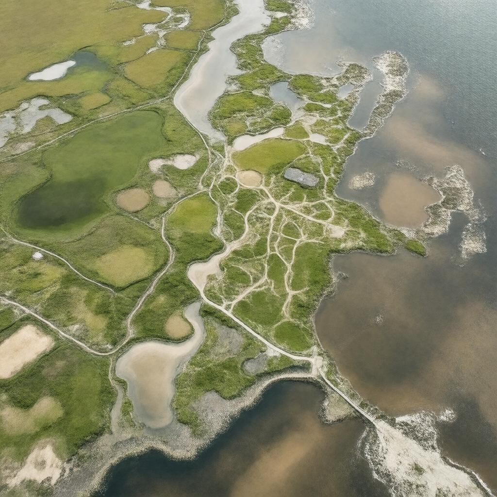
AI-created image
Statements (31)
| Predicate | Object |
|---|---|
| gptkbp:instanceOf |
gptkb:Managed_realignment_site
|
| gptkbp:accessibleBy |
Cycle path
Footpath |
| gptkbp:area |
183 hectares
|
| gptkbp:country |
gptkb:England
|
| gptkbp:createdBy |
Farmland
Former sea defences |
| gptkbp:designation |
gptkb:nature_reserve
|
| gptkbp:habitat |
gptkb:wetlands
Intertidal habitat Saltmarsh |
| gptkbp:location |
gptkb:West_Sussex
|
| gptkbp:managedBy |
gptkb:Environment_Agency
|
| gptkbp:near |
gptkb:Selsey
|
| gptkbp:notableFor |
Largest open-coast managed realignment scheme in the UK
Wildlife conservation |
| gptkbp:notableProject |
Coastal realignment
|
| gptkbp:notableSpecies |
gptkb:Lapwing
gptkb:Avocet gptkb:Brent_goose gptkb:Ringed_plover gptkb:Water_vole |
| gptkbp:opened |
2013
|
| gptkbp:operator |
gptkb:RSPB
|
| gptkbp:partOf |
gptkb:Pagham_Harbour_Local_Nature_Reserve
|
| gptkbp:projectCost |
£28 million
|
| gptkbp:purpose |
Flood protection
|
| gptkbp:threatAddressed |
Coastal flooding
|
| gptkbp:bfsParent |
gptkb:Royal_Society_for_the_Protection_of_Birds
|
| gptkbp:bfsLayer |
4
|
| http://www.w3.org/2000/01/rdf-schema#label |
Medmerry
|