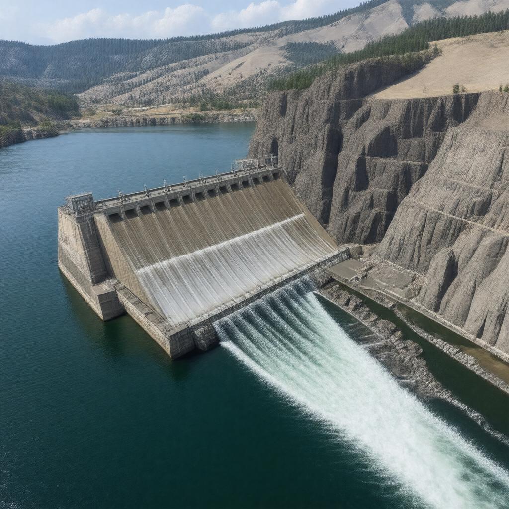
AI-created image
Statements (28)
| Predicate | Object |
|---|---|
| gptkbp:instanceOf |
gptkb:hydroelectric_power_station
|
| gptkbp:capacity |
810 MW
|
| gptkbp:constructionStartYear |
1969
|
| gptkbp:country |
gptkb:United_States
|
| gptkbp:downstreamOf |
gptkb:Lower_Monumental_Dam
|
| gptkbp:fishPassage |
gptkb:dam
|
| gptkbp:hasTower |
6
|
| gptkbp:height |
100 feet
|
| gptkbp:latitude |
46.5742
|
| gptkbp:length |
3,200 feet
|
| gptkbp:locatedIn |
gptkb:Washington
|
| gptkbp:locatedOn |
gptkb:Snake_River
|
| gptkbp:longitude |
-117.4292
|
| gptkbp:mapType |
near Pomeroy, Washington
|
| gptkbp:navigationLock |
yes
|
| gptkbp:opened |
1975
|
| gptkbp:operatedBy |
gptkb:U.S._Army_Corps_of_Engineers
|
| gptkbp:partOf |
gptkb:Columbia_River_Basin
|
| gptkbp:purpose |
gptkb:navigation
flood control hydroelectric power recreation |
| gptkbp:reservoirCapacity |
1,000,000 acre-feet
|
| gptkbp:reservoirName |
gptkb:Lower_Granite_Lake
|
| gptkbp:upstreamFrom |
gptkb:Little_Goose_Dam
|
| gptkbp:bfsParent |
gptkb:Snake_River
|
| gptkbp:bfsLayer |
5
|
| http://www.w3.org/2000/01/rdf-schema#label |
Lower Granite Dam
|