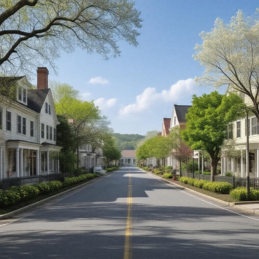
gptkbp:instance_of
|
gptkb:town
|
gptkbp:area
|
16.5 square miles
|
gptkbp:area_code
|
781
|
gptkbp:climate
|
humid continental
|
gptkbp:coordinates
|
42.4475° N, 71.2272° W
|
gptkbp:elevation
|
100 feet
|
gptkbp:events
|
gptkb:Lexington_Farmers'_Market
gptkb:Lexington_Symphony
gptkb:Lexington_Battle_Green
gptkb:Lexington_Arts_and_Crafts_Society
gptkb:Patriot's_Day
|
gptkbp:famous_landmark
|
gptkb:Munroe_Tavern
gptkb:Lexington_Minutemen
gptkb:Buckman_Tavern
gptkb:Lexington_Battle_Green
gptkb:Lexington_Depot
|
gptkbp:founded
|
April 15, 1642
|
gptkbp:has_public_transport
|
gptkb:MBTA
|
gptkbp:historical_significance
|
gptkb:Battle_of_Lexington
|
https://www.w3.org/2000/01/rdf-schema#label
|
Lexington, Massachusetts
|
gptkbp:library
|
gptkb:Lexington_Community_Center
|
gptkbp:located_in
|
gptkb:Middlesex_County
|
gptkbp:mayor
|
gptkb:Mike_Mc_Glynn
|
gptkbp:median_household_income
|
$150,000
|
gptkbp:notable_person
|
gptkb:James_Barrett
gptkb:John_Parker
gptkb:William_Diamond
|
gptkbp:parks
|
gptkb:Hancock-Clarke_House
gptkb:Davis_Park
gptkb:Lexington_Cemetery
gptkb:Minute_Man_National_Historical_Park
gptkb:Great_Meadows_National_Wildlife_Refuge
gptkb:Old_Burying_Ground
gptkb:Battle_Green_Park
gptkb:Lexington_Common
gptkb:Lexington_Reservoir
gptkb:Pine_Meadows_Golf_Club
gptkb:Sandy_Pond_Recreation_Area
gptkb:Wilson_Farm
Concord River Greenway
Sandy Pond
Parker Meadow
Fiske Hill
Bishop's Forest
Busa Farm
Estabrook Woods
Hayden Woods
Marrett Park
Whipple Hill
Willard's Woods
|
gptkbp:part_of
|
gptkb:Greater_Boston
|
gptkbp:population
|
33,000
|
gptkbp:school_district
|
gptkb:Lexington_Public_Schools
|
gptkbp:time_zone
|
Eastern Time Zone
|
gptkbp:website
|
lexingtonma.gov
|
gptkbp:zip_code
|
02420
|
gptkbp:bfsParent
|
gptkb:Saucony
gptkb:Lexington,_Kentucky
gptkb:Battle_of_Lexington_and_Concord
gptkb:John_Hancock
|
gptkbp:bfsLayer
|
4
|