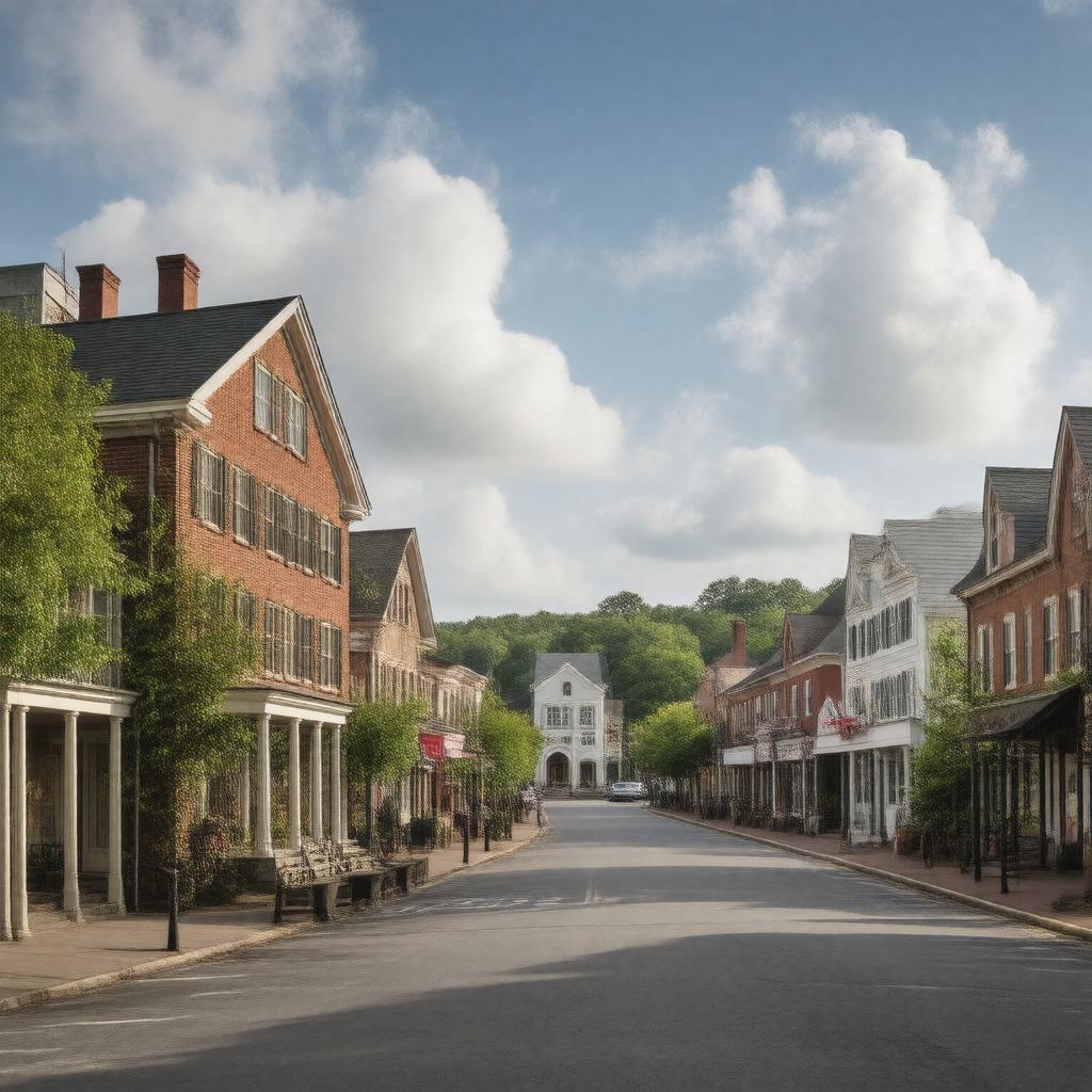
gptkbp:instanceOf
|
gptkb:town
|
gptkbp:areaCode
|
339
781
|
gptkbp:areaLandKm2
|
13.5
|
gptkbp:areaTotalKm2
|
14.0
|
gptkbp:areaWaterKm2
|
0.5
|
gptkbp:book
|
gptkb:Robbins_Library
|
gptkbp:borderedBy
|
gptkb:Belmont,_Massachusetts
gptkb:Cambridge,_Massachusetts
gptkb:Lexington,_Massachusetts
gptkb:Medford,_Massachusetts
gptkb:Somerville,_Massachusetts
gptkb:Winchester,_Massachusetts
|
gptkbp:country
|
gptkb:United_States
|
gptkbp:county
|
gptkb:Middlesex_County
|
gptkbp:FIPS_code
|
25-01855
|
gptkbp:GNIS_feature_ID
|
0619391
|
gptkbp:governmentType
|
Representative town meeting
|
gptkbp:hasHighSchool
|
gptkb:Arlington_High_School
|
gptkbp:hasLandmark
|
gptkb:Jason_Russell_House
gptkb:Menotomy_Rocks_Park
gptkb:Old_Schwamb_Mill
gptkb:Spy_Pond
|
gptkbp:historicalEvent
|
gptkb:Battle_of_Menotomy
|
https://www.w3.org/2000/01/rdf-schema#label
|
Arlington, Massachusetts
|
gptkbp:incorporated
|
1807
|
gptkbp:latitude
|
42.4154
|
gptkbp:longitude
|
-71.1565
|
gptkbp:namedFor
|
gptkb:Arlington,_Virginia
|
gptkbp:originally_settled
|
1635
|
gptkbp:population
|
46,308
|
gptkbp:populationCensusYear
|
2020
|
gptkbp:schoolDistrict
|
gptkb:Arlington_Public_Schools
|
gptkbp:state
|
gptkb:Massachusetts
|
gptkbp:timezone
|
Eastern
|
gptkbp:website
|
https://www.arlingtonma.gov/
|
gptkbp:zipCode
|
02474
02476
|
gptkbp:bfsParent
|
gptkb:Somerville,_Massachusetts
|
gptkbp:bfsLayer
|
3
|