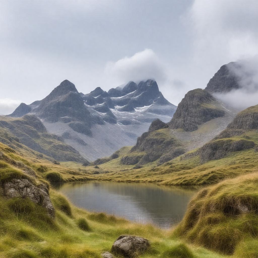
gptkbp:instanceOf
|
mountain range
|
gptkbp:access
|
New Dungeon Ghyll
|
gptkbp:accessibility
|
public transport
|
gptkbp:area
|
gptkb:National_Park
|
gptkbp:averageRainfall
|
2000 mm
|
gptkbp:averageTemperature
|
10°C
|
gptkbp:bestTimeToVisit
|
summer
|
gptkbp:climate
|
oceanic
variable
|
gptkbp:climbRate
|
varied
|
gptkbp:communityEvents
|
walking festivals
|
gptkbp:conservationEfforts
|
protected area
|
gptkbp:culturalHeritage
|
literature
|
gptkbp:elevation
|
782 meters
|
gptkbp:environmentalConcerns
|
erosion
|
gptkbp:famousFor
|
hiking
|
gptkbp:famousLandmark
|
old slate quarries
|
gptkbp:fauna
|
red deer
|
gptkbp:features
|
rock climbing routes
|
gptkbp:firstAscent
|
19th century
|
gptkbp:flora
|
heather
|
gptkbp:geographicalFeature
|
54.4542° N, 3.0633° W
|
gptkbp:geologicalFeatures
|
Slate
|
gptkbp:highestPoint
|
gptkb:Pike_of_Stickle
|
gptkbp:historicalSignificance
|
local culture
|
https://www.w3.org/2000/01/rdf-schema#label
|
Langdale Pikes
|
gptkbp:is_accessible_by
|
footpaths
|
gptkbp:landOwnership
|
gptkb:National_Trust
|
gptkbp:landscape
|
rugged terrain
|
gptkbp:localEconomy
|
tourism
|
gptkbp:localWildlife
|
birds of prey
|
gptkbp:locatedIn
|
gptkb:Lake_District
|
gptkbp:namedAfter
|
gptkb:Langdale_Valley
|
gptkbp:nearestCity
|
Ambleside
|
gptkbp:notableTracks
|
gptkb:Langdale_Pikes_Circuit
|
gptkbp:partOf
|
gptkb:Cumbrian_Mountains
|
gptkbp:photography
|
Pike of Stickle summit
|
gptkbp:popularActivities
|
photography
|
gptkbp:prominence
|
200 meters
|
gptkbp:recreation
|
camping sites
|
gptkbp:safetyFeatures
|
weather awareness
|
gptkbp:scenicViews
|
surrounding peaks
|
gptkbp:surroundingArea
|
gptkb:Bowfell
gptkb:Langdale_Valley
Elterwater
|
gptkbp:tour
|
moderate to challenging
|
gptkbp:transportLinks
|
A593 road
|
gptkbp:viewpoint
|
Great Langdale
Stickle Tarn
|