gptkbp:instance_of
|
gptkb:reservoir
|
gptkbp:access_points
|
campgrounds
public boat ramps
|
gptkbp:area
|
approximately 16,000 acres
|
gptkbp:created_by
|
gptkb:Oahe_Dam
|
gptkbp:created_in
|
gptkb:1962
|
gptkbp:depth
|
approximately 50 feet
approximately 20 feet
|
gptkbp:drainage_basin
|
approximately 300,000 square miles
|
gptkbp:elevation
|
1,200 feet
|
gptkbp:environmental_impact
|
water quality improvement
habitat creation
sediment control
|
gptkbp:fish_species
|
gptkb:fish
gptkb:northern_pike
crappie
walleye
|
gptkbp:flood_control
|
yes
|
gptkbp:historical_significance
|
part of the Missouri River system
|
https://www.w3.org/2000/01/rdf-schema#label
|
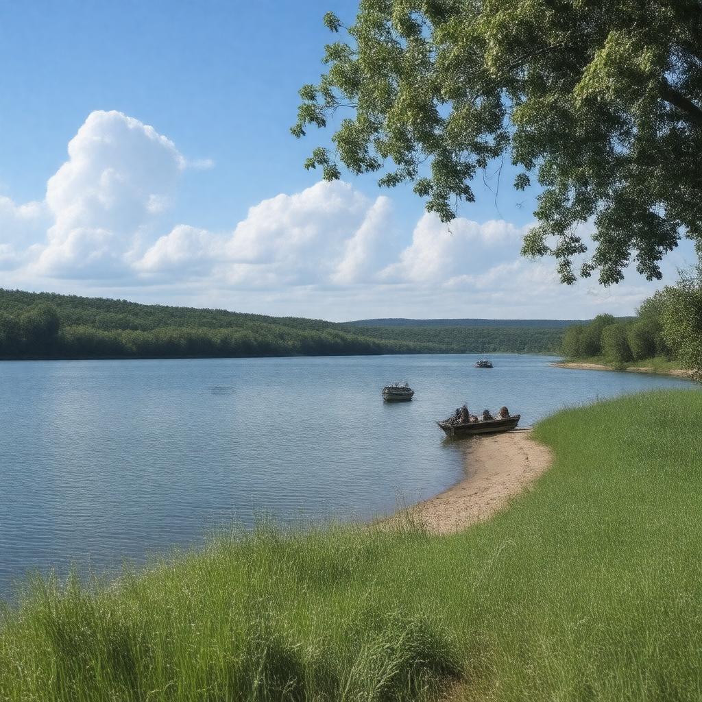
Lake Sharpe
|
gptkbp:is_popular_for
|
water sports
wildlife observation
|
gptkbp:length
|
approximately 50 miles
|
gptkbp:local_economy
|
fishing industry
supports tourism
recreational services
|
gptkbp:location
|
gptkb:South_Dakota
|
gptkbp:managed_by
|
gptkb:U._S._Army_Corps_of_Engineers
|
gptkbp:navigable
|
yes
|
gptkbp:part_of
|
gptkb:Missouri_River
|
gptkbp:primary_use
|
gptkb:recreation
|
gptkbp:recreation
|
gptkb:Lake_Sharpe_Recreation_Area
gptkb:Oahe_Downstream_Recreation_Area
fishing
hiking
boating
camping
|
gptkbp:seasonal_activities
|
ice fishing
snowmobiling
|
gptkbp:surrounding_cities
|
gptkb:Fort_Pierre
gptkb:Pierre
|
gptkbp:water_management
|
yes
|
gptkbp:water_quality
|
monitored by state agencies
|
gptkbp:water_source
|
gptkb:Missouri_River
|
gptkbp:width
|
varies up to 3 miles
|
gptkbp:wildlife
|
gptkb:deer
gptkb:waterfowl
eagles
|
gptkbp:bfsParent
|
gptkb:The_State_of_South_Dakota
gptkb:Big_Bend_Dam
gptkb:South_Dakota's_Glacial_Lakes
|
gptkbp:bfsLayer
|
5
|