Prompt
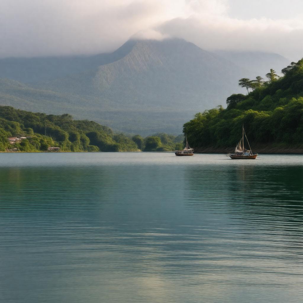
"Generate a serene and breathtaking image of Lake Atitlán, a volcanic endorheic lake located in the Guatemalan Highlands, surrounded by three majestic volcanoes: Volcán Atitlán, Volcán San Pedro, and Volcán Tolimán. The lake's calm waters reflect the vibrant hues of the surrounding landscape, with a few traditional Maya villages and lush green forests dotting the shoreline. In the distance, the majestic volcanoes rise into the clouds, their slopes covered in a verdant layer of vegetation. The image should capture the lake's scenic beauty and tranquility, with a few sailboats or canoes dotting the water. The style should be reminiscent of a warm summer day, with soft, golden light illuminating the scene. The image should be a realistic representation of this stunning natural wonder."

