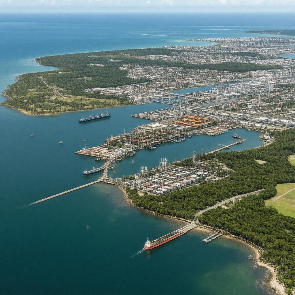
gptkbp:instanceOf
|
gptkb:lake
|
gptkbp:area
|
approximately 16 km²
|
gptkbp:borderedBy
|
gptkb:Port_Royal
gptkb:Norman_Manley_International_Airport
gptkb:Kingston_city
gptkb:Palisadoes
|
gptkbp:connectedTo
|
gptkb:Caribbean_Sea
|
gptkbp:contains
|
gptkb:Port_Royal
gptkb:Norman_Manley_International_Airport
gptkb:Port_of_Kingston
gptkb:Rae_Town
gptkb:Rockfort
|
gptkbp:country
|
gptkb:Jamaica
|
gptkbp:governedBy
|
gptkb:Port_Authority_of_Jamaica
|
gptkbp:historicalEvent
|
gptkb:1692_Port_Royal_earthquake
1940s dredging
|
https://www.w3.org/2000/01/rdf-schema#label
|
Kingston Harbour
|
gptkbp:ISO_3166-2_code
|
JMKIN
|
gptkbp:location
|
gptkb:Kingston,_Jamaica
|
gptkbp:maximumDepth
|
up to 18 metres
|
gptkbp:notableFor
|
gptkb:sunken_city_of_Port_Royal
major shipping hub in the Caribbean
|
gptkbp:pollutionIssue
|
industrial waste
sewage discharge
|
gptkbp:rank
|
seventh-largest natural harbour in the world
|
gptkbp:usedFor
|
fishing
recreation
shipping
|
gptkbp:wildlife
|
gptkb:bird
gptkb:fish
mangroves
|
gptkbp:bfsParent
|
gptkb:Jamaica_(maritime)
gptkb:Kingston
gptkb:Kingston,_Jamaica
|
gptkbp:bfsLayer
|
5
|