Prompt
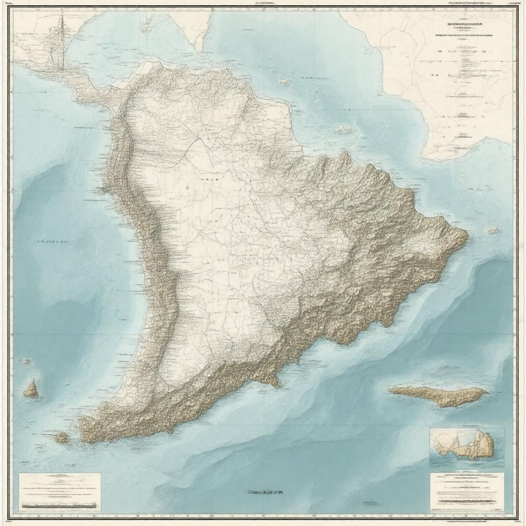
"Generate a map image of Jamaica's maritime territory, showcasing its Exclusive Economic Zone (EEZ), territorial sea, contiguous zone, and coastline along the Caribbean Sea, with neighboring countries and territories such as Cuba, Honduras, Colombia, Cayman Islands, Haiti, and the United States (Navassa Island) visible, highlighting major ports like Kingston Harbour, Montego Bay, Ocho Rios, Port Antonio, and Port Esquivel, in a realistic and nautical chart-style."

