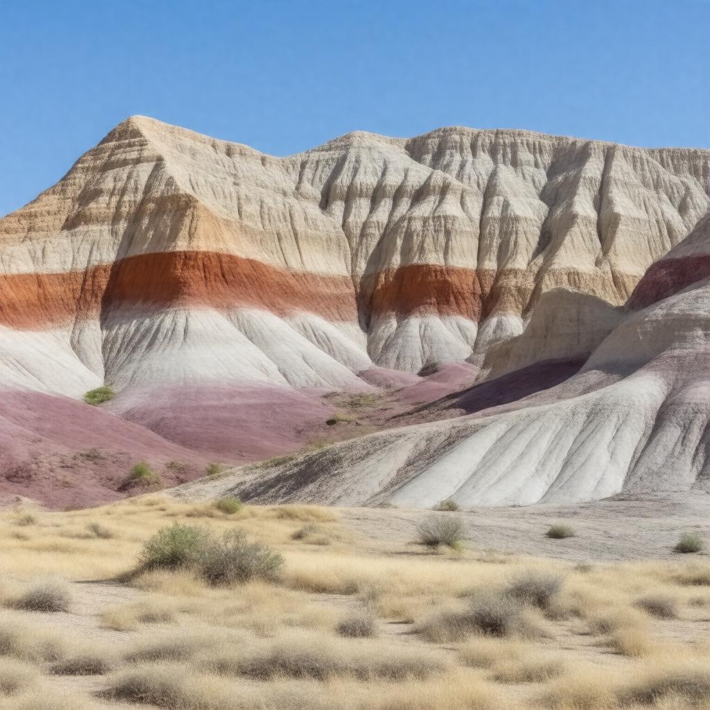
gptkbp:instanceOf
|
gptkb:nature_reserve
|
gptkbp:annualVisitors
|
~200,000
|
gptkbp:area
|
13,944 acres
|
gptkbp:contains
|
gptkb:Painted_Hills
gptkb:Clarno_Unit
gptkb:Sheep_Rock_Unit
|
gptkbp:containsFossilsOf
|
gptkb:Cenozoic_Era
|
gptkbp:country
|
gptkb:United_States
|
gptkbp:county
|
gptkb:Grant_County
gptkb:Jefferson_County
gptkb:Wheeler_County
|
gptkbp:ecosystem
|
semi-arid shrubland
|
gptkbp:established
|
1975
|
gptkbp:hasVisitorCenter
|
gptkb:Thomas_Condon_Paleontology_Center
|
https://www.w3.org/2000/01/rdf-schema#label
|
John Day Fossil Beds
|
gptkbp:knownFor
|
well-preserved fossil beds
|
gptkbp:latitude
|
44.6
|
gptkbp:location
|
gptkb:Oregon
|
gptkbp:longitude
|
-119.6
|
gptkbp:managedBy
|
gptkb:National_Park_Service
|
gptkbp:namedAfter
|
gptkb:John_Day_River
|
gptkbp:nearestCity
|
gptkb:Mitchell,_Oregon
|
gptkbp:notableFor
|
colorful rock formations
diverse fossil record
|
gptkbp:protectedArea
|
yes
|
gptkbp:UNESCOStatus
|
not listed
|
gptkbp:website
|
https://www.nps.gov/joda/index.htm
|
gptkbp:bfsParent
|
gptkb:Oregon
gptkb:Oregon,_United_States
|
gptkbp:bfsLayer
|
4
|