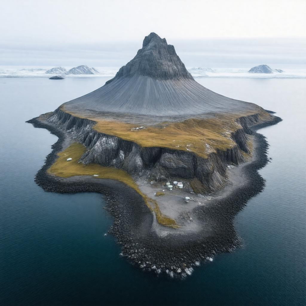
gptkbp:instanceOf
|
gptkb:island
|
gptkbp:administeredBy
|
gptkb:County_Governor_of_Nordland
|
gptkbp:airport
|
gptkb:Jan_Mayensfield
|
gptkbp:area
|
373 km²
|
gptkbp:climate
|
polar
|
gptkbp:containsSettlement
|
gptkb:Olonkinbyen
early 17th century (whalers)
|
gptkbp:country
|
gptkb:Norway
|
gptkbp:currency
|
gptkb:Norwegian_krone
|
gptkbp:discoveredBy
|
gptkb:Jan_Jacobszoon_May_van_Schellinkhout
|
gptkbp:fauna
|
gptkb:deer
seabirds
|
gptkbp:flora
|
mosses
|
gptkbp:governedBy
|
dependency of Norway
|
gptkbp:highestPoint
|
gptkb:Beerenberg
2,277 m
|
https://www.w3.org/2000/01/rdf-schema#label
|
Jan Mayen
|
gptkbp:internetTLD
|
.no
|
gptkbp:ISO_3166-2_code
|
SJ
NOJAN
|
gptkbp:latitude
|
71°N
|
gptkbp:location
|
gptkb:Arctic_Ocean
gptkb:North_Atlantic_Ocean
|
gptkbp:longitude
|
8°W
|
gptkbp:meteorologicalStation
|
gptkb:Norwegian_Meteorological_Institute
|
gptkbp:militaryBranch
|
gptkb:Norwegian_Armed_Forces
|
gptkbp:namedAfter
|
gptkb:Jan_Jacobszoon_May_van_Schellinkhout
|
gptkbp:officialLanguage
|
gptkb:Norwegian
|
gptkbp:partOf
|
gptkb:Kingdom_of_Norway
|
gptkbp:population
|
no
uninhabited (no permanent population)
|
gptkbp:postalCode
|
gptkb:8099_Jan_Mayen
|
gptkbp:region
|
gptkb:Arctic
|
gptkbp:surroundingSea
|
gptkb:Atlantic_Ocean
gptkb:Greenland_Sea
gptkb:Norwegian_Sea
|
gptkbp:timezone
|
CET
|
gptkbp:UNESCOStatus
|
not a World Heritage Site
|
gptkbp:volcanicOrigin
|
gptkb:Beerenberg
|
gptkbp:bfsParent
|
gptkb:North_Atlantic
gptkb:Norway
|
gptkbp:bfsLayer
|
4
|