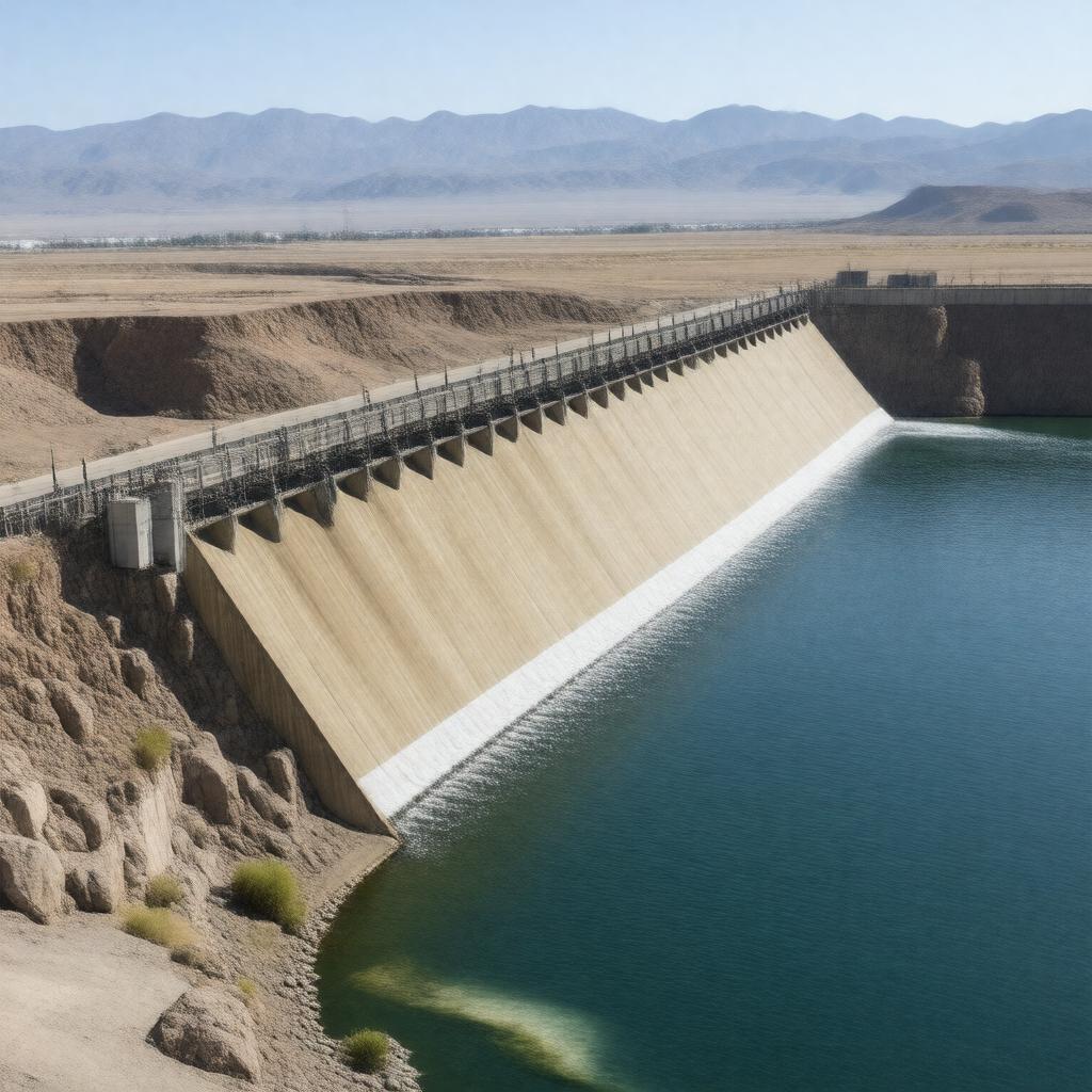
AI-created image
Statements (28)
| Predicate | Object |
|---|---|
| gptkbp:instanceOf |
gptkb:dam
|
| gptkbp:catchmentArea |
184,000 square miles
|
| gptkbp:completedIn |
1938
|
| gptkbp:constructionStartYear |
1936
|
| gptkbp:coordinates |
32.8806°N 114.4811°W
|
| gptkbp:divertsWaterTo |
gptkb:All-American_Canal
gptkb:Gila_Gravity_Main_Canal |
| gptkbp:elevation |
185 feet above sea level
|
| gptkbp:height |
85 feet
|
| gptkbp:impounds |
gptkb:Colorado_River
|
| gptkbp:length |
3,475 feet
|
| gptkbp:locatedIn |
gptkb:Arizona
gptkb:California gptkb:United_States |
| gptkbp:locatedOn |
gptkb:Colorado_River
|
| gptkbp:nearestCity |
gptkb:Yuma,_Arizona
|
| gptkbp:operatedBy |
gptkb:United_States_Bureau_of_Reclamation
|
| gptkbp:ownedBy |
gptkb:United_States_Bureau_of_Reclamation
|
| gptkbp:purpose |
gptkb:river
irrigation |
| gptkbp:reservoirName |
gptkb:Imperial_Reservoir
|
| gptkbp:serves |
gptkb:Imperial_Valley
gptkb:Yuma_Project |
| gptkbp:waterSource |
agriculture
municipal use |
| gptkbp:bfsParent |
gptkb:Colorado_River
|
| gptkbp:bfsLayer |
5
|
| http://www.w3.org/2000/01/rdf-schema#label |
Imperial Dam
|