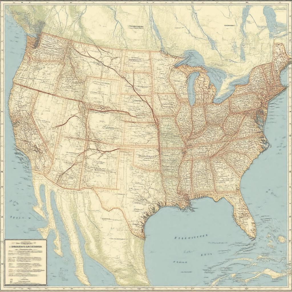
I-10

GPTKB entity

Statements (68)
Predicate Object
gptkbp:instanceOf gptkb:state_highway
gptkbp:connectsTo gptkb:I-55
gptkb:I-95
gptkb:I-15
gptkb:I-35
gptkb:I-45
gptkb:I-5
gptkb:I-17
gptkb:I-49
gptkb:I-65
gptkb:I-75
gptkbp:country gptkb:United_States
gptkbp:crosses gptkb:Mississippi_River
gptkb:Pecos_River
gptkb:Rio_Grande
gptkb:Sabine_River
gptkb:Apalachicola_River
gptkb:Mobile_River
gptkbp:directionA East
West
gptkbp:easternTerminus gptkb:Santa_Monica,_California
gptkb:Jacksonville,_Florida
gptkbp:established 1957
https://www.w3.org/2000/01/rdf-schema#label I-10
gptkbp:length 2,460.34 miles
gptkbp:maintainedBy state departments of transportation
gptkbp:majorCity gptkb:Baton_Rouge
gptkb:El_Paso
gptkb:Houston
gptkb:Jacksonville
gptkb:Los_Angeles
gptkb:New_Orleans
gptkb:Phoenix
gptkb:Tucson
Mobile
San Antonio
gptkbp:mapType https://en.wikipedia.org/wiki/File:I-10_map.svg
gptkbp:maximumSpeed varies by state
up to 80 mph (Texas)
gptkbp:notableBattle gptkb:George_Wallace_Tunnel
gptkb:Mobile_Tunnel
gptkbp:notableBuilding gptkb:Huey_P._Long_Bridge
gptkb:Atchafalaya_Basin_Bridge
gptkb:Mississippi_River_Bridge_(Baton_Rouge)
gptkbp:notableEvent gptkb:Hurricane_Harvey_flooding_(2017)
gptkb:Hurricane_Katrina_damage_(2005)
Atchafalaya Basin Bridge accidents
gptkbp:parallelTo gptkb:U.S._Route_60
gptkb:U.S._Route_66_(historic)
gptkb:U.S._Route_70
gptkb:U.S._Route_80
gptkb:U.S._Route_90
gptkbp:partOf gptkb:Dwight_D._Eisenhower_National_System_of_Interstate_and_Defense_Highways
gptkbp:passesThrough gptkb:Alabama
gptkb:Arizona
gptkb:California
gptkb:Florida
gptkb:Louisiana
gptkb:Mississippi
gptkb:New_Mexico
gptkb:Texas
gptkbp:routeNumber 10
gptkbp:toll yes (in some areas, e.g., Texas and Louisiana bridges)
gptkbp:bfsParent gptkb:I-25
gptkb:I-55
gptkb:San_Diego_Freeway_(I-405)
gptkb:Inner_Loop
gptkbp:bfsLayer 5