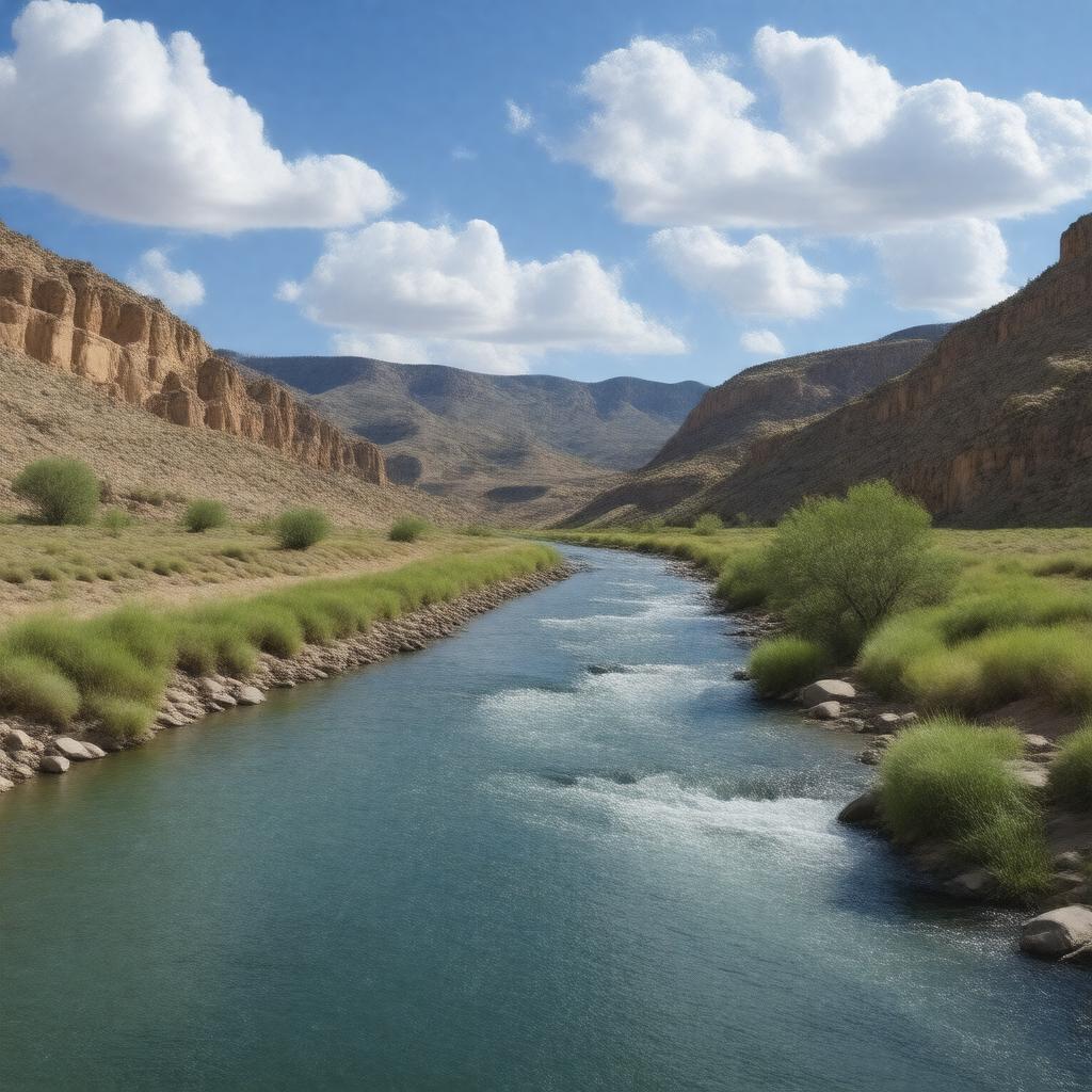
gptkbp:instanceOf
|
gptkb:river
|
gptkbp:basinCountry
|
gptkb:United_States
|
gptkbp:basinSize
|
115000 km²
|
gptkbp:crosses
|
gptkb:Pecos_High_Bridge
|
gptkbp:dischargeAverage
|
5.2 m³/s
|
gptkbp:flowsThrough
|
gptkb:Crockett_County
gptkb:Loving_County
gptkb:Reeves_County
gptkb:Upton_County
gptkb:Val_Verde_County
gptkb:Ward_County
gptkb:Pecos_County
gptkb:Terrell_County
Chaves County
De Baca County
Eddy County
Guadalupe County
San Miguel County
near Langtry, Texas
|
gptkbp:hasMajorDam
|
gptkb:Avalon_Dam
gptkb:Brantley_Dam
gptkb:Red_Bluff_Dam
|
gptkbp:hasRecreation
|
boating
camping
fishing
hiking
|
gptkbp:hasTributary
|
gptkb:Barrilla_Draw
gptkb:Delaware_River_(Texas)
gptkb:Gallinas_River
gptkb:Independence_Creek
gptkb:Live_Oak_Creek
gptkb:Rio_Hondo
gptkb:Salt_Creek_(Texas)
gptkb:Sheep_Creek
gptkb:Taiban_Creek
gptkb:Toyah_Creek
gptkb:Black_River
gptkb:Salt_Creek
|
gptkbp:hasWildlife
|
gptkb:Pecos_bluntnose_shiner
gptkb:Pecos_gambusia
gptkb:Pecos_pupfish
|
gptkbp:historicalSignificance
|
western boundary of the Republic of Texas
|
https://www.w3.org/2000/01/rdf-schema#label
|
Pecos River
|
gptkbp:length
|
1490 km
|
gptkbp:locatedIn
|
gptkb:New_Mexico
gptkb:Texas
gptkb:United_States
|
gptkbp:mouthLocation
|
gptkb:Rio_Grande
|
gptkbp:namedAfter
|
gptkb:Pecos_Pueblo
|
gptkbp:sourceLocation
|
gptkb:Pecos,_New_Mexico
|
gptkbp:tributaryOf
|
gptkb:Rio_Grande
|
gptkbp:bfsParent
|
gptkb:Chihuahuan_Desert
gptkb:New_Mexico
gptkb:Santa_Fe_National_Forest
gptkb:USNS_Pecos
gptkb:New_Mexico_(1912)
|
gptkbp:bfsLayer
|
5
|