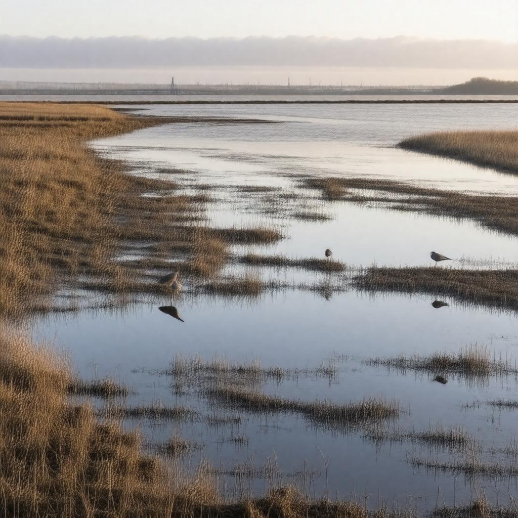
gptkbp:instanceOf
|
gptkb:river
|
gptkbp:borders
|
gptkb:North_Lincolnshire
gptkb:East_Riding_of_Yorkshire
|
gptkbp:crosses
|
gptkb:Humber_Bridge
|
gptkbp:designation
|
gptkb:nature_reserve
gptkb:wetlands
gptkb:Site_of_Special_Scientific_Interest
|
gptkbp:emptiesInto
|
gptkb:North_Sea
|
gptkbp:hasBridge
|
gptkb:Humber_Bridge
|
gptkbp:hasIsland
|
gptkb:Read's_Island
|
gptkbp:hasNatureReserve
|
gptkb:Blacktoft_Sands
gptkb:Spurn_Point
|
gptkbp:hasPort
|
gptkb:Port_of_Immingham
gptkb:Port_of_Hull
gptkb:Port_of_Grimsby
|
gptkbp:hasWildlife
|
wading birds
otters
terns
bitterns
grey seals
avocets
brent geese
curlews
lapwings
marsh harriers
redshanks
shelducks
|
gptkbp:historicalSignificance
|
gptkb:fish
shipping
trade
|
https://www.w3.org/2000/01/rdf-schema#label
|
Humber Estuary
|
gptkbp:length
|
about 62 km
|
gptkbp:locatedIn
|
gptkb:England
gptkb:United_Kingdom
|
gptkbp:mouth
|
gptkb:River_Humber
|
gptkbp:nearestCity
|
gptkb:Grimsby
gptkb:Hull
gptkb:Immingham
gptkb:Barton-upon-Humber
|
gptkbp:notableFor
|
birdlife
saltmarshes
tidal mudflats
|
gptkbp:partOf
|
gptkb:Yorkshire_and_the_Humber_region
|
gptkbp:receivesWaterFrom
|
gptkb:River_Ancholme
gptkb:River_Hull
River Ouse
River Trent
|
gptkbp:widthAtMouth
|
about 12 km
|
gptkbp:bfsParent
|
gptkb:Blacktoft_Sands
gptkb:Hull
gptkb:Hull,_United_Kingdom
gptkb:Humber
gptkb:Kingston_upon_Hull
gptkb:Trent
gptkb:East_Riding_of_Yorkshire
gptkb:Yorkshire_and_the_Humber
|
gptkbp:bfsLayer
|
5
|