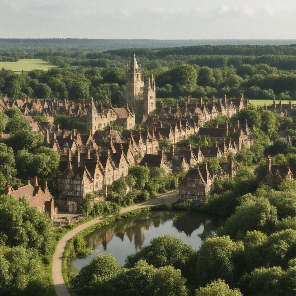
gptkbp:instance_of
|
gptkb:town
|
gptkbp:bfsLayer
|
4
|
gptkbp:bfsParent
|
gptkb:Earl
gptkb:U._S._Route_158
|
gptkbp:architectural_style
|
gptkb:Historical_Society
|
gptkbp:area
|
3.5 square miles
|
gptkbp:community_engagement
|
gptkb:Hertford_Town_Council
|
gptkbp:economy
|
Retail and services
|
gptkbp:has_education
|
gptkb:Hertford_Regional_College
|
gptkbp:has_events
|
gptkb:Hertford_Festival
|
gptkbp:has_exhibition
|
gptkb:Hertford_Museum
|
gptkbp:has_history
|
gptkb:Settlement
|
gptkbp:historical_significance
|
Market town since the Middle Ages
|
https://www.w3.org/2000/01/rdf-schema#label
|
Hertford
|
gptkbp:is_part_of
|
gptkb:East_Hertfordshire_District
|
gptkbp:landmark
|
gptkb:Hertford_Castle
gptkb:St_Andrew's_Church
|
gptkbp:located_in
|
gptkb:England
gptkb:Hertfordshire
|
gptkbp:parking
|
gptkb:Castle_Gardens
gptkb:Hartham_Common
|
gptkbp:population
|
approximately 29,000
|
gptkbp:postal_code
|
S G14
|
gptkbp:river
|
gptkb:River_Lea
|
gptkbp:team
|
gptkb:Hertford_Town_F._C.
|
gptkbp:time_zone
|
GMT
|
gptkbp:transportation
|
gptkb:Hertford_North_railway_station
gptkb:Hertford_East_railway_station
|