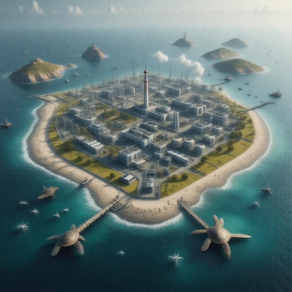
gptkbp:instanceOf
|
gptkb:island
|
gptkbp:administeredBy
|
gptkb:QatarEnergy
|
gptkbp:area
|
1.6 square kilometers
|
gptkbp:coordinates
|
25.6733°N 52.3283°E
|
gptkbp:country
|
gptkb:Qatar
|
gptkbp:distanceFromDoha
|
80 kilometers
|
gptkbp:elevation
|
61 meters
|
gptkbp:hasDesalinationPlant
|
gptkb:Halul_Island_Desalination_Plant
|
gptkbp:hasFacility
|
gptkb:wastewater_treatment_plant
accommodation for workers
power generation plant
|
gptkbp:hasFuelStorageTanks
|
gptkb:Halul_Island_Fuel_Storage_Tanks
|
gptkbp:hasHelipad
|
gptkb:Halul_Island_Helipad
|
gptkbp:hasJetty
|
gptkb:Halul_Island_Jetty
|
gptkbp:hasLighthouse
|
gptkb:Halul_Island_Lighthouse
|
gptkbp:hasPort
|
gptkb:Halul_Island_Port
|
gptkbp:hasWildlife
|
sea turtles
reptiles
seabirds
|
https://www.w3.org/2000/01/rdf-schema#label
|
Halul Island
|
gptkbp:locatedIn
|
gptkb:Persian_Gulf
|
gptkbp:strategicImportance
|
gptkb:oil
|
gptkbp:timezone
|
gptkb:Arabian_Standard_Time
|
gptkbp:usedFor
|
oil export
oil storage
|
gptkbp:vegetation
|
sparse
|
gptkbp:bfsParent
|
gptkb:State_of_Qatar
|
gptkbp:bfsLayer
|
5
|