Prompt
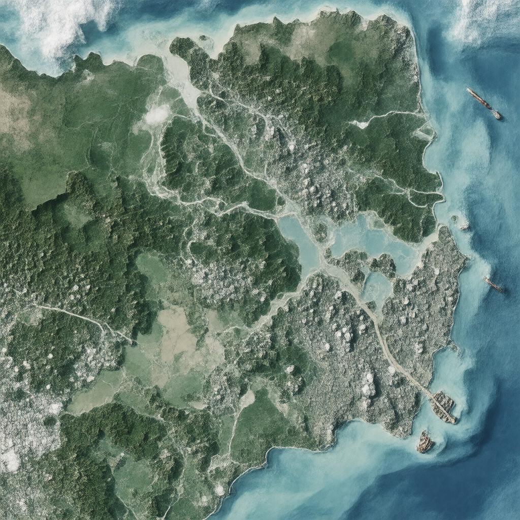
"Generate a realistic image of the Gulf of Guayaquil, a bay located in the Pacific Ocean, bordering Ecuador and Peru. The gulf should be depicted with the Santa Elena Peninsula and islands such as Isla Puná and Isla Jambelí in the background. In the foreground, show the mouths of the Guayas River, Jubones River, Zarumilla River, and Tumbes River flowing into the gulf. Include ports such as Puerto Bolívar and Puerto Marítimo de Guayaquil along the shoreline, with fishing boats, ships, and aquaculture farms visible. The image should also showcase the gulf's rich biodiversity, including mangroves and a variety of marine life. The style should be a photorealistic representation of this important body of water, highlighting its economic activities such as fishing, shipping, and aquaculture."

