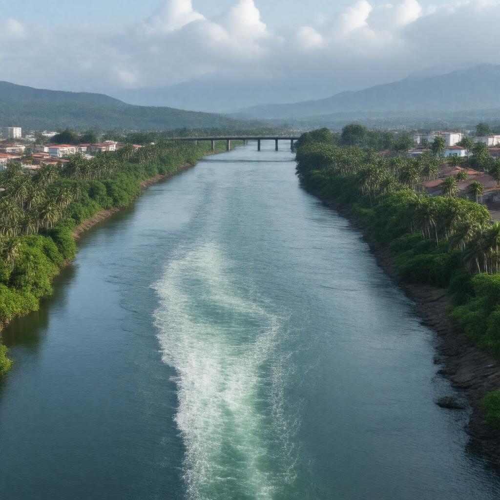
AI-created image
Statements (26)
| Predicate | Object |
|---|---|
| gptkbp:instanceOf |
gptkb:river
|
| gptkbp:basinSize |
34,500 km²
|
| gptkbp:country |
gptkb:Ecuador
|
| gptkbp:economicImportance |
fishing
major transportation route supports agriculture |
| gptkbp:emptiesInto |
gptkb:Gulf_of_Guayaquil
|
| gptkbp:flowsThrough |
gptkb:Guayaquil
|
| gptkbp:length |
389 km
|
| gptkbp:locatedIn |
gptkb:Ecuador
|
| gptkbp:majorCity |
gptkb:Guayaquil
|
| gptkbp:mouthLocation |
gptkb:Pacific_Ocean
|
| gptkbp:namedAfter |
gptkb:Guayas_(legendary_chief)
|
| gptkbp:navigable |
yes
|
| gptkbp:notableBuilding |
gptkb:Las_Peñas_Bridge
gptkb:National_Unity_Bridge |
| gptkbp:protectedArea |
gptkb:Manglares_Churute_Ecological_Reserve
|
| gptkbp:region |
gptkb:Coastal_Region_of_Ecuador
|
| gptkbp:source |
confluence of Daule and Babahoyo rivers
|
| gptkbp:tributaryOf |
gptkb:Babahoyo_River
gptkb:Chimbo_River gptkb:Daule_River gptkb:Yaguachi_River |
| gptkbp:bfsParent |
gptkb:Ecuador_(mainland)
|
| gptkbp:bfsLayer |
4
|
| http://www.w3.org/2000/01/rdf-schema#label |
Guayas River
|