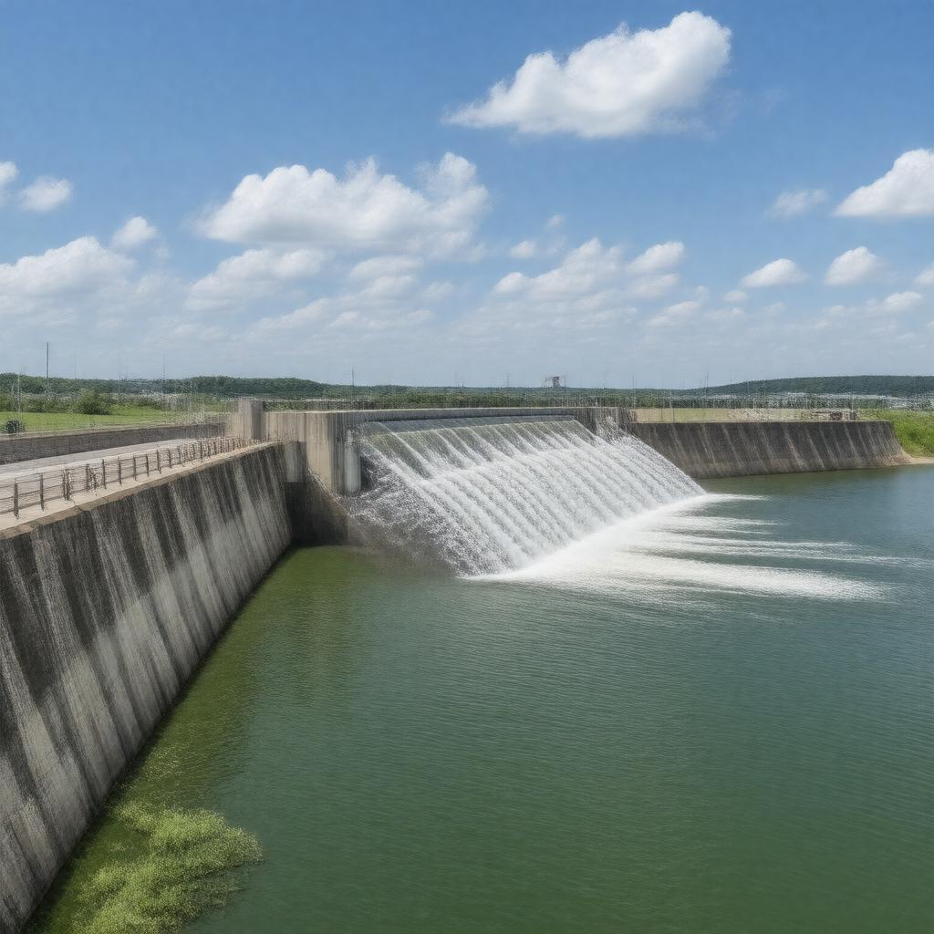
AI-created image
Statements (27)
| Predicate | Object |
|---|---|
| gptkbp:instanceOf |
gptkb:dam
|
| gptkbp:completedIn |
1957
|
| gptkbp:constructionStartYear |
1952
|
| gptkbp:crosses |
gptkb:Missouri_River
|
| gptkbp:hasSpillway |
gated concrete ogee
|
| gptkbp:height |
74 feet
|
| gptkbp:hydroelectricCapacity |
132 MW
|
| gptkbp:length |
8,700 feet
|
| gptkbp:locatedIn |
gptkb:Nebraska
gptkb:South_Dakota gptkb:United_States |
| gptkbp:mapType |
42.8667°N 97.4833°W
|
| gptkbp:nearestCity |
gptkb:Crofton,_Nebraska
gptkb:Yankton,_South_Dakota |
| gptkbp:opened |
1957
|
| gptkbp:operatedBy |
gptkb:U.S._Army_Corps_of_Engineers
|
| gptkbp:partOf |
gptkb:Pick-Sloan_Missouri_Basin_Program
|
| gptkbp:purpose |
gptkb:navigation
flood control hydroelectric power recreation |
| gptkbp:reservoirLength |
25 miles
|
| gptkbp:reservoirName |
gptkb:Lewis_and_Clark_Lake
31,400 acres |
| gptkbp:bfsParent |
gptkb:Missouri_River
|
| gptkbp:bfsLayer |
4
|
| http://www.w3.org/2000/01/rdf-schema#label |
Gavins Point Dam
|