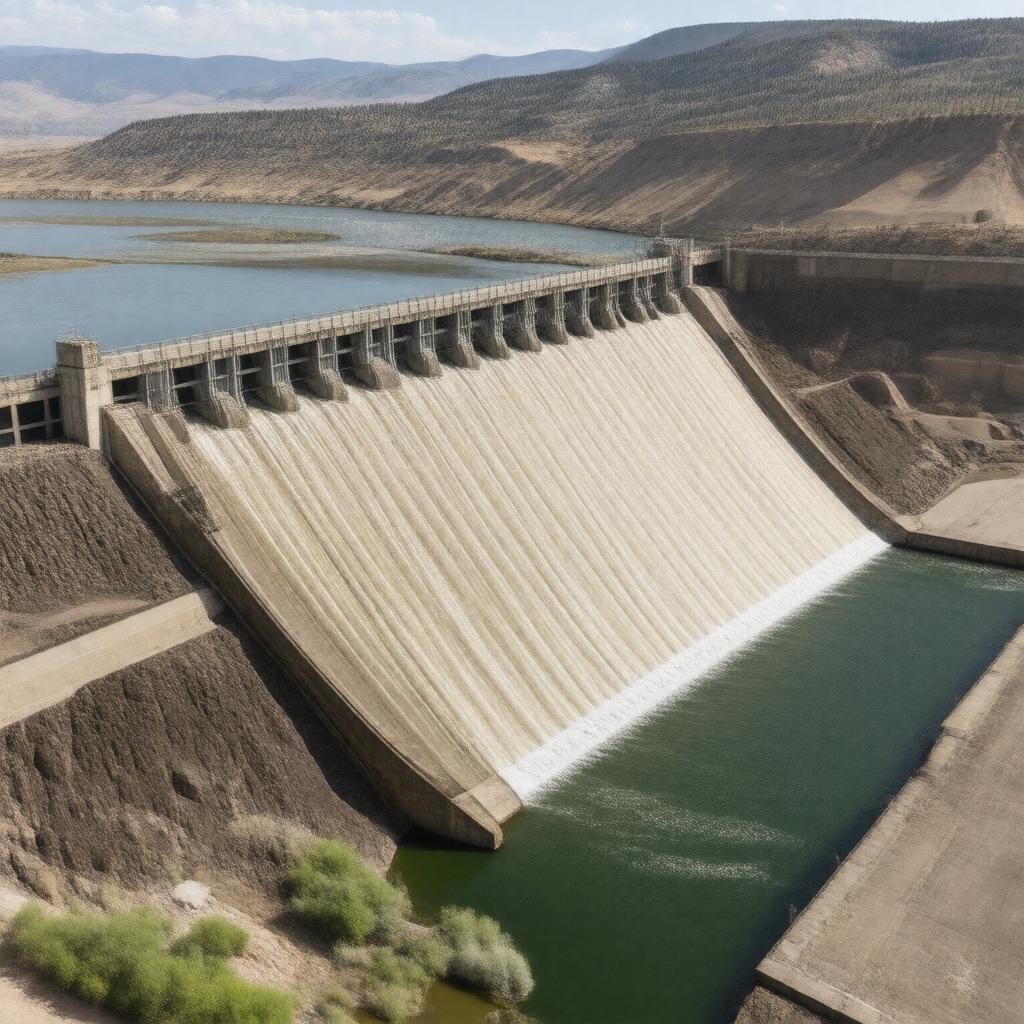
gptkbp:instanceOf
|
gptkb:dam
|
gptkbp:builtBy
|
gptkb:U.S._Army_Corps_of_Engineers
|
gptkbp:constructionStartYear
|
1933
|
gptkbp:country
|
gptkb:United_States
|
gptkbp:featuredIn
|
gptkb:Margaret_Bourke-White's_1936_LIFE_magazine_cover_photo
|
gptkbp:height
|
76.4 meters
|
https://www.w3.org/2000/01/rdf-schema#label
|
Fort Peck Dam
|
gptkbp:hydroelectricCapacity
|
185 MW
|
gptkbp:latitude
|
48.0081
|
gptkbp:length
|
6,409 meters
|
gptkbp:locatedIn
|
gptkb:Montana
|
gptkbp:location
|
gptkb:Missouri_River
|
gptkbp:longitude
|
-106.4256
|
gptkbp:managedBy
|
gptkb:U.S._Army_Corps_of_Engineers_Omaha_District
|
gptkbp:nearestCity
|
gptkb:Glasgow,_Montana
|
gptkbp:notableEvent
|
1938 dam failure during construction
|
gptkbp:opened
|
1940
|
gptkbp:partOf
|
gptkb:Pick-Sloan_Missouri_Basin_Program
|
gptkbp:purpose
|
gptkb:navigation
gptkb:water_supply
flood control
hydroelectric power
irrigation
|
gptkbp:reservoirCapacity
|
18,700,000 acre-feet
|
gptkbp:reservoirName
|
gptkb:Fort_Peck_Lake
|
gptkbp:type
|
hydraulic earth-fill dam
|
gptkbp:bfsParent
|
gptkb:Missouri_River
|
gptkbp:bfsLayer
|
4
|