Eleven Point National Wild and Scenic River
GPTKB entity

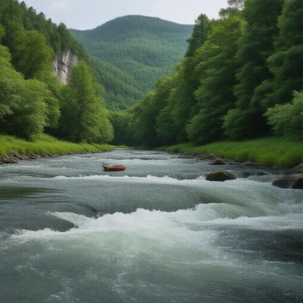
AI-created image
Statements (23)
| Predicate | Object |
|---|---|
| gptkbp:instanceOf |
gptkb:nature_reserve
|
| gptkbp:coordinates |
36.6056°N 91.3242°W
|
| gptkbp:country |
gptkb:United_States
|
| gptkbp:designationYear |
1968
|
| gptkbp:ecosystem |
gptkb:Ozark_Highlands
|
| gptkbp:establishedBy |
gptkb:Wild_and_Scenic_Rivers_Act
|
| gptkbp:length |
44 miles
|
| gptkbp:location |
gptkb:Missouri
|
| gptkbp:managedBy |
gptkb:U.S._Forest_Service
|
| gptkbp:namedFor |
gptkb:Eleven_Point_River
|
| gptkbp:nearestCity |
gptkb:Alton,_Missouri
|
| gptkbp:notableFeature |
Springs
Bluffs Forested hills |
| gptkbp:partOf |
gptkb:Mark_Twain_National_Forest
|
| gptkbp:protectedArea |
gptkb:river
|
| gptkbp:recreationalActivity |
camping
canoeing fishing hiking |
| gptkbp:bfsParent |
gptkb:Mark_Twain_National_Forest
|
| gptkbp:bfsLayer |
5
|
| http://www.w3.org/2000/01/rdf-schema#label |
Eleven Point National Wild and Scenic River
|