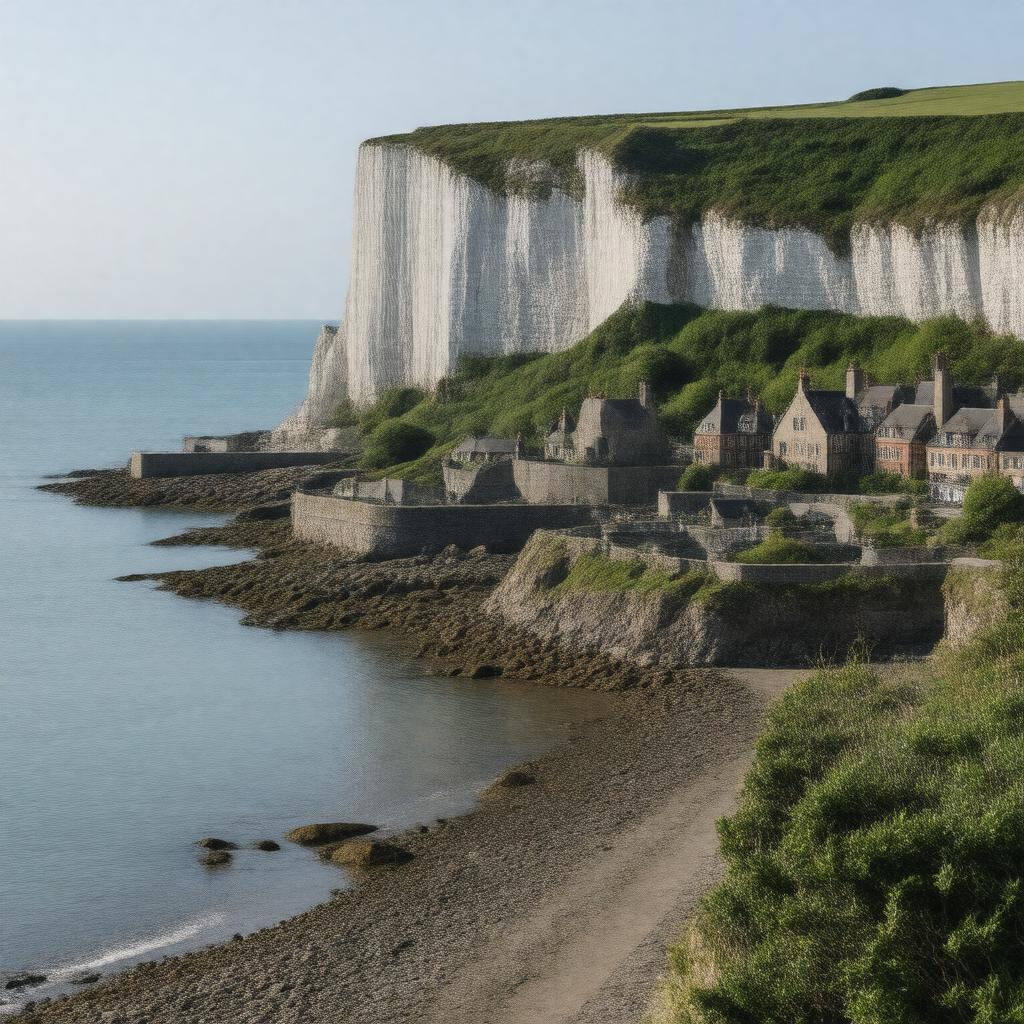
Dover, Kent, England

GPTKB entity

Statements (53)
Predicate Object
gptkbp:instanceOf gptkb:town
gptkbp:area 16.4 km²
gptkbp:country gptkb:England
gptkbp:county gptkb:Kent
gptkbp:dialCode 01304
gptkbp:distanceFromLondon about 67 miles (108 km)
gptkbp:district gptkb:Dover_District
gptkbp:famousFor gptkb:White_Cliffs_of_Dover
gptkbp:founded gptkb:Roman_era
gptkbp:governingBody gptkb:Dover_Town_Council
gptkbp:hasCastle gptkb:Dover_Castle
gptkbp:hasFerryServiceTo gptkb:Calais,_France
gptkb:Dunkirk,_France
gptkbp:hasFootballClub gptkb:Dover_Athletic_F.C.
gptkbp:hasHarbor gptkb:Dover_Harbour
gptkbp:hasHospital gptkb:Buckland_Hospital
gptkbp:hasLeisureCentre gptkb:Dover_Leisure_Centre
gptkbp:hasLighthouse gptkb:South_Foreland_Lighthouse
gptkbp:hasNatureReserve gptkb:Samphire_Hoe
gptkb:Western_Heights
gptkbp:hasPort gptkb:Port_of_Dover
gptkbp:hasRailwayStation gptkb:Dover_Priory_railway_station
gptkbp:hasRoute gptkb:Dover_Pencester_Road_bus_station
gptkbp:hasSecondarySchool gptkb:Astor_College
gptkb:Dover_Grammar_School_for_Boys
gptkb:Dover_Grammar_School_for_Girls
gptkb:St_Edmund's_Catholic_School
gptkbp:hasShoppingCentre gptkb:St_James_Retail_and_Leisure_Park
gptkbp:historicalCounty gptkb:Kent
https://www.w3.org/2000/01/rdf-schema#label Dover, Kent, England
gptkbp:latitude 51.1290
gptkbp:locatedOn gptkb:English_Channel
gptkbp:longitude 1.3080
gptkbp:nearestCity gptkb:London_Gatwick_Airport
gptkb:London_Southend_Airport
gptkbp:notableEvent Operation Dynamo (WWII evacuation of Dunkirk)
gptkbp:notableLandmark gptkb:Dover_Museum
gptkb:Dover_Western_Docks
gptkb:Maison_Dieu
gptkb:Roman_Painted_House
gptkb:St_Mary_in_Castro_Church
gptkbp:parliamentaryConstituency gptkb:Dover
gptkbp:population approximately 31,000
gptkbp:postalCode CT16, CT17
gptkbp:region gptkb:South_East_England
gptkbp:river gptkb:River_Dour
gptkbp:timezone gptkb:GMT
gptkbp:timezoneDST gptkb:BST
gptkbp:twinTown gptkb:Calais,_France
gptkb:Houtem,_Belgium
gptkb:Split,_Croatia
gptkbp:bfsParent gptkb:John_Redwood
gptkbp:bfsLayer 4