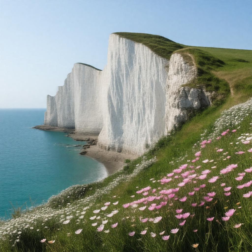
AI-created image
Statements (28)
| Predicate | Object |
|---|---|
| gptkbp:instanceOf |
gptkb:mountain
|
| gptkbp:composition |
chalk
|
| gptkbp:country |
gptkb:England
gptkb:United_Kingdom |
| gptkbp:faced |
gptkb:France
|
| gptkbp:fauna |
seabirds
|
| gptkbp:featuredIn |
song 'The White Cliffs of Dover'
|
| gptkbp:flora |
wildflowers
|
| gptkbp:geologicalAge |
Cretaceous
|
| gptkbp:hasViewOf |
gptkb:France
|
| gptkbp:height |
up to 110 meters
|
| gptkbp:length |
about 13 km
|
| gptkbp:locatedIn |
gptkb:Kent
|
| gptkbp:location |
gptkb:Dover
|
| gptkbp:managedBy |
gptkb:National_Trust
|
| gptkbp:nearestCity |
gptkb:Dover
gptkb:Port_of_Dover |
| gptkbp:notableFor |
white color
|
| gptkbp:overlooks |
gptkb:English_Channel
|
| gptkbp:partOf |
North Downs
|
| gptkbp:photographed |
tourists
|
| gptkbp:symbol |
gptkb:Britain
|
| gptkbp:touristAttraction |
true
|
| gptkbp:UNESCOWorldHeritageSite |
false
|
| gptkbp:usedFor |
defense in World War II
|
| gptkbp:bfsParent |
gptkb:English_Channel
|
| gptkbp:bfsLayer |
4
|
| http://www.w3.org/2000/01/rdf-schema#label |
White Cliffs of Dover
|