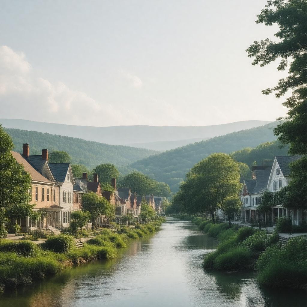
gptkbp:instanceOf
|
town
|
gptkbp:annualEvent
|
gptkb:Deerfield_Fair
|
gptkbp:area
|
36.5 square miles
|
gptkbp:areaCode
|
413
|
gptkbp:city
|
form of government
|
gptkbp:climate
|
humid continental
|
gptkbp:community
|
gptkb:Deerfield_Community_Center
|
gptkbp:coordinates
|
42.4875° N, 72.5861° W
|
gptkbp:culturalHeritage
|
Historic Deerfield
|
gptkbp:demographics
|
predominantly white
|
gptkbp:elevation
|
200 feet
|
gptkbp:emergencyServices
|
gptkb:Franklin_County_Emergency_Services
|
gptkbp:famousLandmark
|
gptkb:Old_Deerfield_Village
|
gptkbp:fireDepartment
|
gptkb:Deerfield_Fire_Department
|
gptkbp:founded
|
1669
|
gptkbp:hasLibrary
|
gptkb:Deerfield_Public_Library
|
gptkbp:historicalPeriod
|
gptkb:Deerfield_Historical_Society
|
gptkbp:historicalSignificance
|
Colonial history
|
https://www.w3.org/2000/01/rdf-schema#label
|
Deerfield, Massachusetts
|
gptkbp:localEconomy
|
agriculture
healthcare
tourism
education
retail
|
gptkbp:localNewspaper
|
The Recorder
|
gptkbp:locatedIn
|
gptkb:Franklin_County
|
gptkbp:majorHighway
|
gptkb:U.S._Route_5
gptkb:Massachusetts_Route_10
|
gptkbp:nearestCity
|
gptkb:Northampton
Greenfield
|
gptkbp:notableEvent
|
gptkb:Deerfield_Massacre
|
gptkbp:notablePerson
|
gptkb:John_Williams
|
gptkbp:parks
|
gptkb:Deerfield_River_Park
|
gptkbp:partOf
|
gptkb:Massachusetts
|
gptkbp:policeDepartment
|
gptkb:Deerfield_Police_Department
|
gptkbp:population
|
5,000
|
gptkbp:publicTransport
|
PVTA_bus_service
|
gptkbp:recreation
|
community events
hiking trails
winter sports
music festivals
picnic areas
playgrounds
sports fields
holiday celebrations
biking paths
fishing spots
swimming areas
art fairs
camping areas
farmers market
|
gptkbp:schoolDistrict
|
gptkb:Deerfield_Public_Schools
|
gptkbp:timeZone
|
gptkb:Eastern_Time_Zone
|
gptkbp:transportation
|
Amtrak_service
|
gptkbp:website
|
www.deerfieldma.us
|
gptkbp:zipCode
|
01342
|