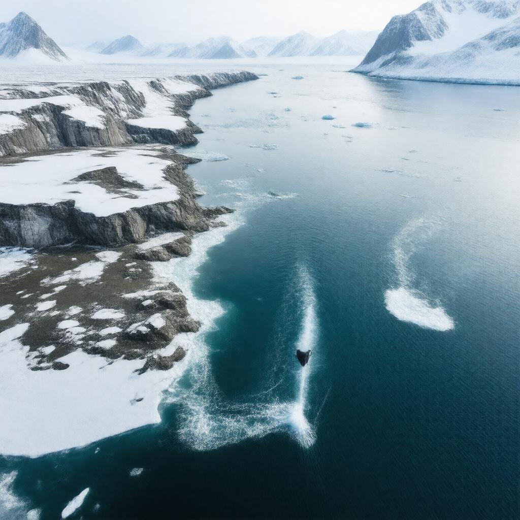
AI-created image
Statements (29)
| Predicate | Object |
|---|---|
| gptkbp:instanceOf |
gptkb:street
|
| gptkbp:borders |
gptkb:Canada
gptkb:Greenland |
| gptkbp:connects |
gptkb:Baffin_Bay
gptkb:Labrador_Sea |
| gptkbp:explores |
John Davis
|
| gptkbp:fauna |
gptkb:bird
gptkb:deer gptkb:silk bowhead whale narwhal |
| gptkbp:featureType |
gptkb:Davis_Strait_Ridge
|
| gptkbp:iceSheet |
seasonal
|
| gptkbp:lake |
gptkb:Labrador_Current
|
| gptkbp:length |
about 700 km
|
| gptkbp:locatedBetween |
gptkb:Baffin_Island
gptkb:Greenland |
| gptkbp:locatedIn |
gptkb:North_Atlantic_Ocean
|
| gptkbp:maximumDepth |
384 meters
|
| gptkbp:namedAfter |
John Davis
|
| gptkbp:partOf |
gptkb:Arctic_Ocean
|
| gptkbp:region |
gptkb:Nunavut
gptkb:Qikiqtaaluk_Region |
| gptkbp:separates |
gptkb:Baffin_Island
gptkb:Greenland |
| gptkbp:width |
about 300-400 km
|
| gptkbp:bfsParent |
gptkb:North_Atlantic
|
| gptkbp:bfsLayer |
4
|
| http://www.w3.org/2000/01/rdf-schema#label |
Davis Strait
|