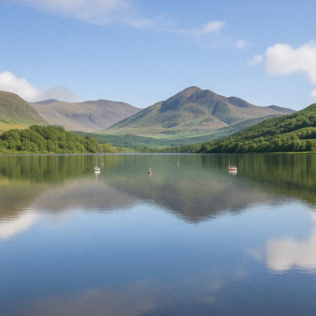
AI-created image
Statements (32)
| Predicate | Object |
|---|---|
| gptkbp:instanceOf |
gptkb:lake
|
| gptkbp:area |
2.5 km²
|
| gptkbp:catchmentArea |
gptkb:Lake_District
|
| gptkbp:country |
gptkb:United_Kingdom
|
| gptkbp:elevation |
97 m
|
| gptkbp:hasIsland |
none
|
| gptkbp:hasWaterfall |
gptkb:Scale_Force
|
| gptkbp:inflow |
gptkb:River_Buttermere
gptkb:Sail_Beck gptkb:Squat_Beck |
| gptkbp:length |
2.5 miles
|
| gptkbp:locatedIn |
gptkb:England
gptkb:Lake_District gptkb:Cumbria |
| gptkbp:managedBy |
gptkb:National_Trust
|
| gptkbp:maximumDepth |
42 m
|
| gptkbp:nearestCity |
gptkb:Lorton
gptkb:Buttermere gptkb:Loweswater |
| gptkbp:notableFeature |
gptkb:Mellbreak
gptkb:Rannerdale_Knotts gptkb:Red_Pike gptkb:Scale_Force |
| gptkbp:outflow |
gptkb:River_Cocker
|
| gptkbp:partOf |
Lake District National Park
|
| gptkbp:popularFor |
fishing
photography walking |
| gptkbp:width |
0.6 miles
|
| gptkbp:bfsParent |
gptkb:Lake_District
|
| gptkbp:bfsLayer |
5
|
| http://www.w3.org/2000/01/rdf-schema#label |
Crummock Water
|