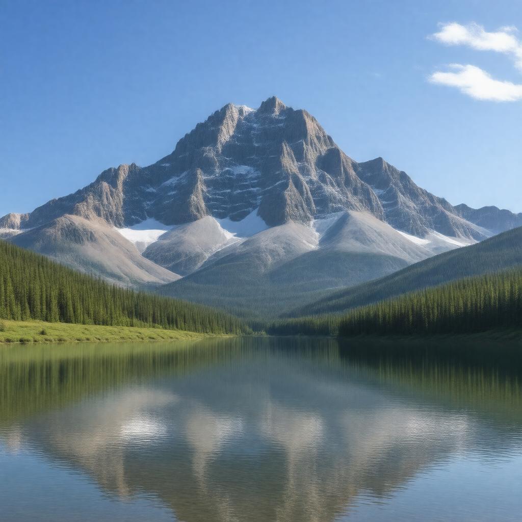
gptkbp:instance_of
|
gptkb:mountain_range
|
gptkbp:accessibility
|
via Forest Service roads
via U. S. Route 287
|
gptkbp:area
|
approximately 1,000 square miles
|
gptkbp:climate
|
continental climate
|
gptkbp:climate_impact
|
climate change effects
glacial retreat
changing ecosystems
|
gptkbp:conservation_efforts
|
habitat restoration
wildlife protection
land management practices
|
gptkbp:cultural_significance
|
gptkb:scientific_research
local folklore
artistic inspiration
|
gptkbp:drainage_basin
|
gptkb:Madison_River
gptkb:Henry's_Fork
|
gptkbp:elevation
|
3,000 meters
|
gptkbp:environmental_concerns
|
gptkb:invasive_species
habitat loss
wildfire risk
|
gptkbp:fauna
|
gptkb:Bear
gptkb:elk
gptkb:moose
bald eagle
mountain goat
|
gptkbp:first_ascent
|
gptkb:unknown
|
gptkbp:flora
|
coniferous forests
|
gptkbp:geological_formation
|
igneous rock
|
gptkbp:highest_point
|
3,600 meters
Hagerman Pass
|
gptkbp:historical_significance
|
Native American history
early settler routes
|
https://www.w3.org/2000/01/rdf-schema#label
|
Centennial Mountains
|
gptkbp:land_ownership
|
public land
state land
federal land
|
gptkbp:local_economy
|
gptkb:tourism
recreational services
outdoor gear sales
|
gptkbp:located_in
|
gptkb:Montana
|
gptkbp:nearest_city
|
gptkb:West_Yellowstone
|
gptkbp:notable_for
|
wildlife viewing
|
gptkbp:part_of
|
gptkb:Rocky_Mountains
|
gptkbp:popular_activities
|
fishing
hiking
camping
|
gptkbp:protected_area
|
Centennial Mountains Wilderness Area
|
gptkbp:surrounding_area
|
gptkb:Caribou-Targhee_National_Forest
|
gptkbp:surrounding_features
|
gptkb:lakes
valleys
streams
|
gptkbp:tourism
|
gptkb:tourism
eco-tourism
recreational tourism
|
gptkbp:bfsParent
|
gptkb:Centennial_Valley
|
gptkbp:bfsLayer
|
8
|