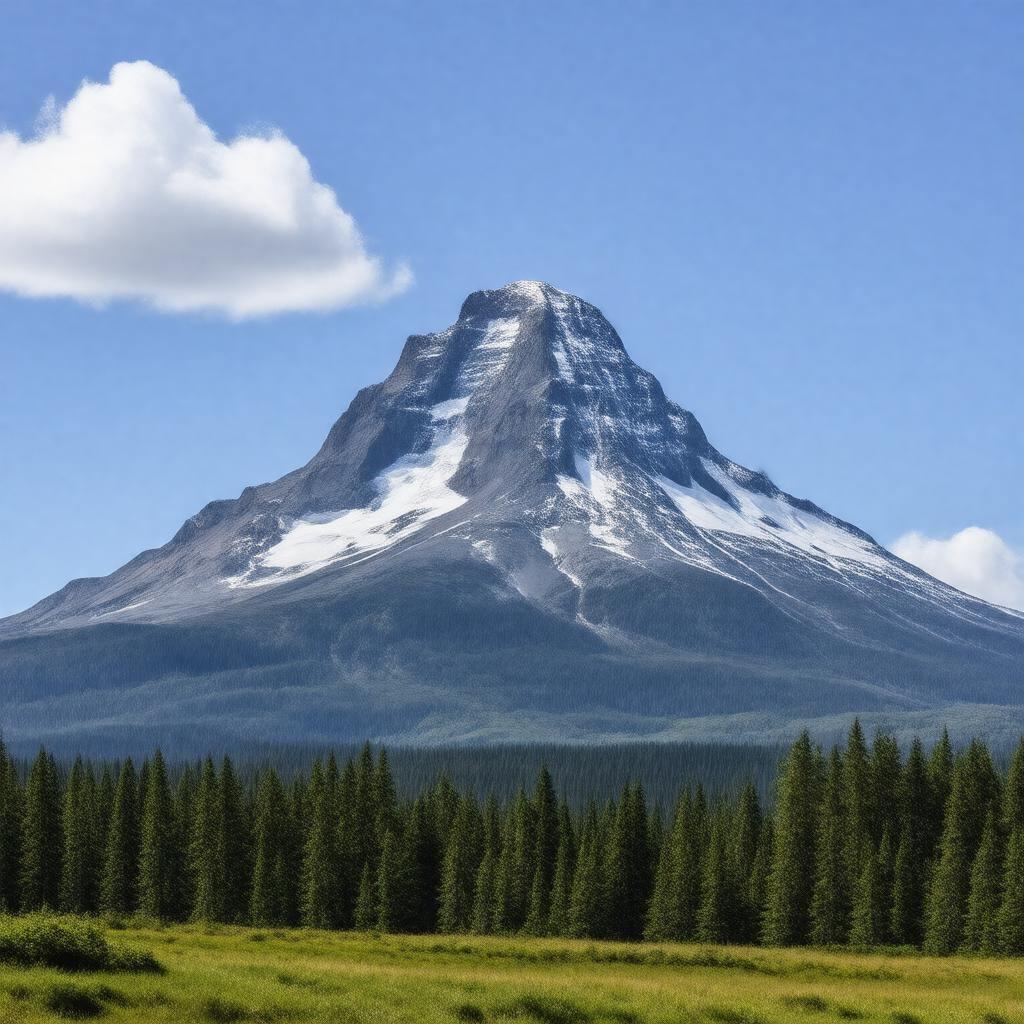
AI-created image
Statements (23)
| Predicate | Object |
|---|---|
| gptkbp:instanceOf |
gptkb:mountain
|
| gptkbp:county |
gptkb:Jefferson_County
gptkb:Linn_County gptkb:Marion_County |
| gptkbp:elevation |
3199 meters
|
| gptkbp:firstAscent |
1888
|
| gptkbp:lastEruption |
950 AD (approximate)
|
| gptkbp:latitude |
44.6747
|
| gptkbp:locatedIn |
gptkb:Oregon
gptkb:United_States |
| gptkbp:longitude |
-121.7992
|
| gptkbp:mapType |
gptkb:USGS_Mount_Jefferson
|
| gptkbp:namedAfter |
gptkb:Thomas_Jefferson
|
| gptkbp:parentPeak |
gptkb:Mount_Hood
|
| gptkbp:partOf |
gptkb:Cascade_Range
|
| gptkbp:photo |
Mount Jefferson Oregon.jpg
|
| gptkbp:prominence |
1749 meters
|
| gptkbp:protectedArea |
gptkb:Mount_Jefferson_Wilderness
|
| gptkbp:type |
gptkb:stratovolcano
|
| gptkbp:volcanicArcBelt |
gptkb:Cascade_Volcanic_Arc
|
| gptkbp:bfsParent |
gptkb:Oregon,_United_States
|
| gptkbp:bfsLayer |
4
|
| http://www.w3.org/2000/01/rdf-schema#label |
Mount Jefferson
|