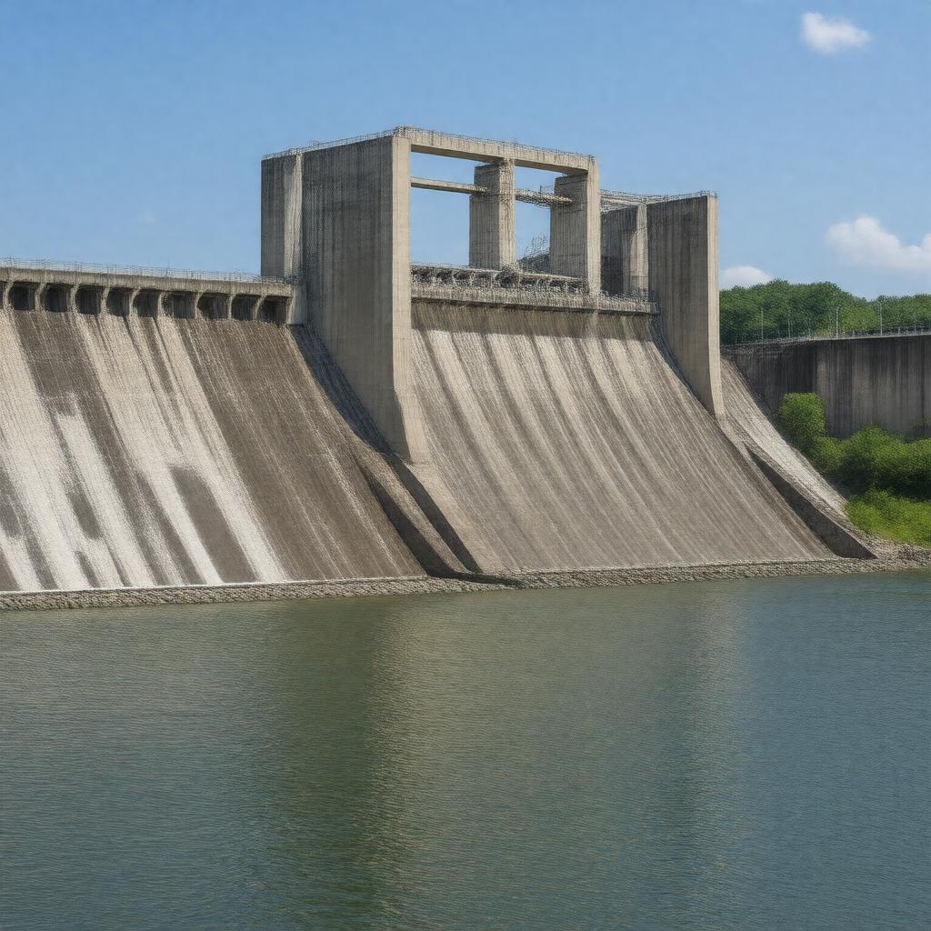
AI-created image
Statements (25)
| Predicate | Object |
|---|---|
| gptkbp:instanceOf |
gptkb:dam
|
| gptkbp:architecturalStyle |
mid-20th century engineering
|
| gptkbp:capacity |
380 megawatts
|
| gptkbp:constructionStartYear |
1947
|
| gptkbp:country |
gptkb:United_States
|
| gptkbp:crosses |
gptkb:White_River
|
| gptkbp:hasTower |
8
|
| gptkbp:height |
256 feet
|
| gptkbp:length |
2,256 feet
|
| gptkbp:locatedIn |
gptkb:Marion_County,_Arkansas
gptkb:Baxter_County,_Arkansas |
| gptkbp:mapType |
36.3833°N 92.5833°W
|
| gptkbp:notableFor |
one of the largest concrete dams in the United States
|
| gptkbp:opened |
1951
|
| gptkbp:operatedBy |
gptkb:U.S._Army_Corps_of_Engineers
|
| gptkbp:ownedBy |
gptkb:U.S._Army_Corps_of_Engineers
|
| gptkbp:purpose |
flood control
recreation hydroelectric power generation |
| gptkbp:reservoirCapacity |
5,760,000 acre-feet
|
| gptkbp:reservoirName |
gptkb:Bull_Shoals_Lake
|
| gptkbp:type |
gptkb:concrete_gravity_dam
|
| gptkbp:bfsParent |
gptkb:White_River
|
| gptkbp:bfsLayer |
5
|
| http://www.w3.org/2000/01/rdf-schema#label |
Bull Shoals Dam
|