gptkbp:instanceOf
|
gptkb:nature_reserve
|
gptkbp:area
|
370 square kilometres
|
gptkbp:containsVillage
|
gptkb:Chard
gptkb:Wellington
gptkb:Honiton
gptkb:Broadhembury
gptkb:Buckland_St_Mary
gptkb:Churchinford
gptkb:Clayhidon
gptkb:Combe_Raleigh
gptkb:Dunkeswell
gptkb:Hemyock
gptkb:Luppitt
gptkb:Otterford
gptkb:Smeatharpe
gptkb:Upottery
|
gptkbp:designationYear
|
1991
|
gptkbp:elevation
|
315 metres
|
gptkbp:geology
|
gptkb:ceramics
gptkb:fruit
gptkb:stone
gptkb:Upper_Greensand
limestone
|
gptkbp:governingBody
|
gptkb:Blackdown_Hills_AONB_Partnership
|
gptkbp:highestPoint
|
gptkb:Staple_Hill
|
https://www.w3.org/2000/01/rdf-schema#label
|
Blackdown Hills
|
gptkbp:locatedIn
|
gptkb:Devon
gptkb:England
gptkb:Somerset
|
gptkbp:mainRiver
|
gptkb:River_Axe
gptkb:River_Tone
gptkb:River_Culm
gptkb:River_Otter
gptkb:River_Yarty
|
gptkbp:notableFauna
|
gptkb:lake
rare plants
barn owl
dormouse
greater horseshoe bat
heath fritillary butterfly
marsh fritillary butterfly
|
gptkbp:notableFeature
|
gptkb:grass
historic site
rivers
farmland
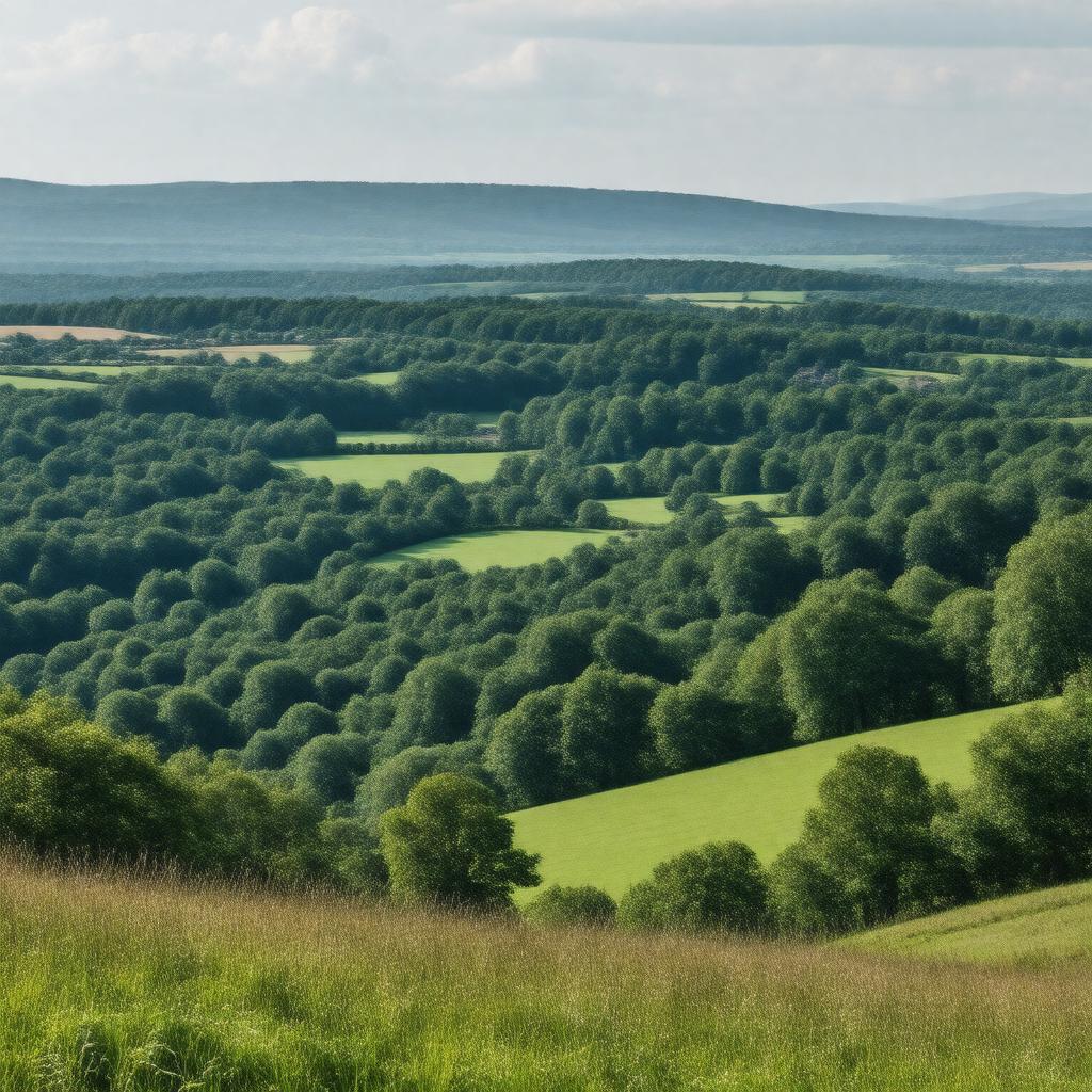
wooded valleys
|
gptkbp:notableLandmark
|
gptkb:Wellington_Monument
gptkb:Culmstock_Beacon
gptkb:Dunkeswell_Airfield
gptkb:Hemyock_Castle
gptkb:Otterhead_Lakes
gptkb:Roman_fort_at_Hembury
gptkb:Staple_Hill_viewpoint
gptkb:Upottery_Airfield
|
gptkbp:partOf
|
gptkb:South_West_England
|
gptkbp:protectedBy
|
gptkb:nature_reserve
|
gptkbp:touristAttraction
|
cycling
historic site
walking
nature watching
|
gptkbp:UNESCOStatus
|
not a World Heritage Site
|
gptkbp:bfsParent
|
gptkb:Somerset
gptkb:Wellington_Monument,_Somerset
|
gptkbp:bfsLayer
|
5
|