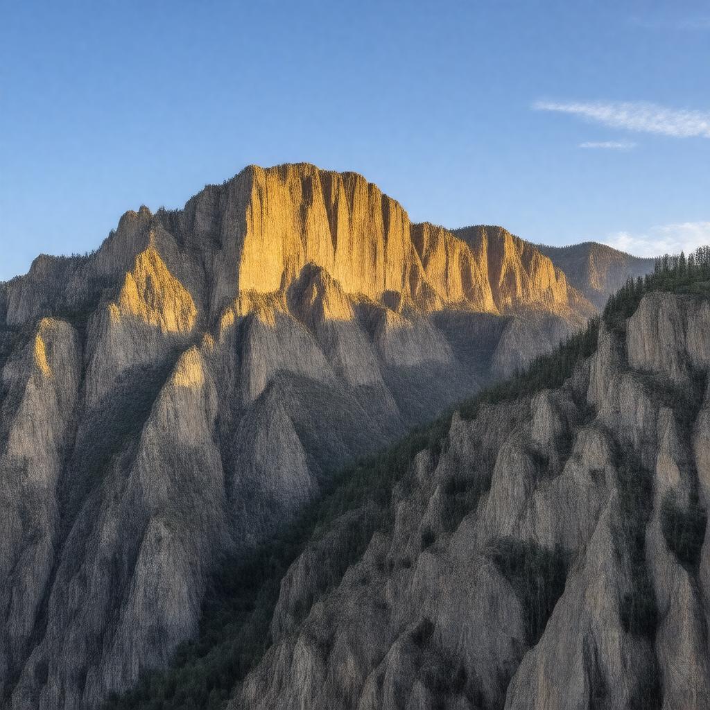
Black Canyon of the Gunnison National Park

GPTKB entity
Statements (115)
Predicate Object
gptkbp:instance_of gptkb:National_Park
gptkbp:activities Rock climbing
fishing
hiking
camping
rock climbing
gptkbp:area 48,590 acres
30,750 acres
gptkbp:climate semi-arid
gptkbp:conservation_status gptkb:protected_area
gptkbp:contains gptkb:Curecanti_National_Recreation_Area
gptkb:Black_Canyon
historic sites
gptkbp:depth 2,722 feet
gptkbp:designated_as gptkb:International_Dark_Sky_Park
gptkb:National_Park
gptkb:historical_landmark
gptkbp:ecosystem Montane forests
gptkbp:elevation 8,000 feet
gptkbp:established gptkb:1999
gptkbp:features gptkb:river
gptkb:Gunnison_River
gptkb:rock_formations
Steep cliffs
steep cliffs
picnic areas
rock climbing areas
wildflower viewing
stargazing opportunities
deep canyons
interpretive trails
gptkbp:geological_features gneiss
schist
gptkbp:has gptkb:visitor_center
scenic viewpoints
gptkbp:has_visitor_center gptkb:North_Rim_Visitor_Center
gptkb:South_Rim_Visitor_Center
gptkbp:highest_point Uncompahgre Peak (14,321 ft)
gptkbp:historical_significance mining history
Native American history
exploration history
https://www.w3.org/2000/01/rdf-schema#label Black Canyon of the Gunnison National Park
gptkbp:includes camping facilities
gptkbp:is_accessible_by gptkb:Colorado_State_Highway_347
gptkb:Montrose
gptkb:U._S._Route_29
gptkbp:is_home_to gptkb:bighorn_sheep
various fish species
various bird species
various wildlife species
black bears
endangered species
various mammals
various plant species
golden eagles
mountain lions
mule deer
various insects
various reptiles
various amphibians
river otters
gptkbp:is_known_for natural beauty
whitewater rafting
fishing opportunities
scenic drives
cultural history
educational exhibits
geological formations
photography opportunities
outdoor recreation opportunities
dramatic cliffs
canyon views
hiking challenges
gptkbp:is_located_in gptkb:Gunnison_County
gptkbp:is_located_near gptkb:Curecanti_National_Recreation_Area
Gunnison
gptkbp:is_managed_by gptkb:U._S._Department_of_the_Interior
gptkbp:is_part_of gptkb:Colorado_Plateau
gptkb:National_Park_Service
Western United States
Rocky Mountain region
Gunnison Basin
Colorado National Parks
gptkbp:landforms gptkb:rock_formations
gptkb:canyon
waterfalls
trails
cliffs
overlooks
gptkbp:length 53 miles
gptkbp:located_in gptkb:Colorado
gptkbp:location gptkb:Colorado
gptkbp:managed_by gptkb:National_Park_Service
gptkbp:named_after gptkb:Gunnison_River
gptkbp:offers gptkb:hiking_trails
gptkbp:part_of gptkb:Gunnison_National_Forest
gptkbp:provides gptkb:educational_programs
gptkbp:river gptkb:Gunnison_River
gptkbp:scenic_views North Rim Road
South Rim Road
gptkbp:surrounding_area gptkb:San_Juan_Mountains
Uncompahgre Plateau
Gunnison Valley
gptkbp:visitors approximately 200,000 annually
approximately 300,000 annually
300,000 (2020)
gptkbp:width 1,000 feet
gptkbp:wildlife gptkb:bighorn_sheep
gptkb:Mountain_lion
gptkb:golden_eagle
mountain lion
mule deer
gptkbp:bfsParent gptkb:National_Park_Service
gptkb:United_States
gptkbp:bfsLayer 3