Bear Island

GPTKB entity
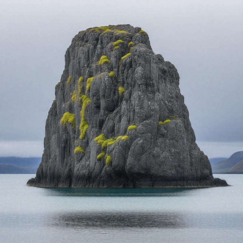
AI-created image of Bear Island
AI-created image

Statements (49)
Predicate Object
gptkbp:instanceOf gptkb:island
gptkbp:administeredBy gptkb:Norwegian_Polar_Institute
gptkbp:area 178 km²
gptkbp:climate subarctic
gptkbp:containsSettlement gptkb:Bjørnøya_Meteorological_Station
gptkbp:country gptkb:Norway
gptkbp:discoveredBy gptkb:Willem_Barentsz
gptkbp:discoveredIn 1596
gptkbp:distanceToNorwayMainland 225 km north of North Cape
gptkbp:distanceToSvalbard 400 km south
gptkbp:formerMining gptkb:coal
gptkbp:governedBy gptkb:Governor_of_Svalbard
gptkbp:hasStation gptkb:Bjørnøya_Radio
gptkbp:highestPoint gptkb:Miseryfjellet
536 m
https://www.w3.org/2000/01/rdf-schema#label Bear Island
gptkbp:importantFor birdlife
gptkbp:IUCNStatus gptkb:Ia_(strict_nature_reserve)
gptkbp:latitude 74°26′N
gptkbp:locatedIn gptkb:Norwegian_Sea
gptkbp:longitude 19°01′E
gptkbp:namedAfter gptkb:deer
gptkbp:notableFauna polar bears
seabirds
arctic foxes
gptkbp:notableFlora lichens
mosses
gptkbp:partOf gptkb:Svalbard_archipelago
gptkbp:population uninhabited
gptkbp:postalCode 9178
gptkbp:protectedArea gptkb:Bear_Island_Nature_Reserve
gptkbp:strategicImportance weather observation
gptkbp:surroundedBy gptkb:Barents_Sea
gptkb:Norwegian_Sea
gptkbp:timezone CET
gptkbp:timezoneDST CEST
gptkbp:UNESCOStatus not listed
gptkbp:bfsParent gptkb:House_Mormont
gptkb:The_Sunset_Sea
gptkb:Barents_Sea
gptkb:Greenland_Sea
gptkb:Lake_Winnipegosis
gptkb:Lake_Winnipesaukee
gptkb:Narrow_Sea
gptkb:Thimble_Islands
gptkb:Apostle_Islands
gptkb:Нарочь
gptkb:Apostle_Islands_National_Lakeshore
gptkbp:bfsLayer 5