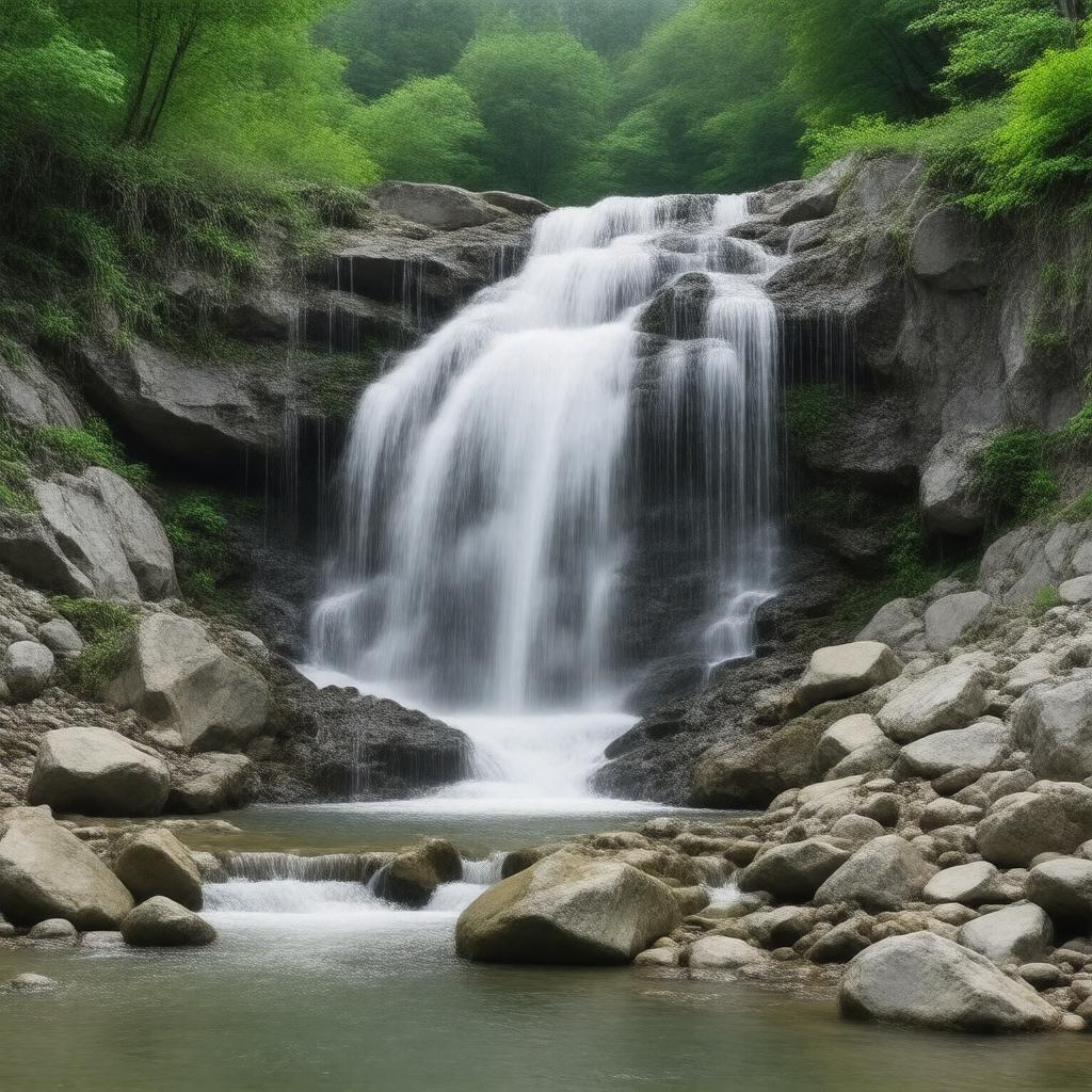
gptkbp:instance_of
|
gptkb:State_Park
|
gptkbp:accessibility
|
limited
|
gptkbp:activities
|
gptkb:photography
hiking
bird watching
picnicking
|
gptkbp:admission_fee
|
gptkb:none
|
gptkbp:area
|
1,000 acres
|
gptkbp:best_time_to_visit
|
spring and fall
|
gptkbp:campground
|
not allowed
|
gptkbp:educational_programs
|
available
|
gptkbp:emergency_services
|
nearby
|
gptkbp:established
|
gptkb:1975
|
gptkbp:features
|
gptkb:Bash_Bish_Falls
|
gptkbp:guided_tours
|
available
|
gptkbp:has_public_transport
|
limited
|
gptkbp:has_restrooms
|
available
|
gptkbp:historical_significance
|
part of the Appalachian Trail
|
https://www.w3.org/2000/01/rdf-schema#label
|
Bash Bish Falls State Park
|
gptkbp:landscape
|
gptkb:rock_formations
waterfalls
wooded areas
streams
|
gptkbp:local_attractions
|
gptkb:Tanglewood_Music_Center
gptkb:Norman_Rockwell_Museum
gptkb:Mount_Washington
gptkb:Berkshire_Botanical_Garden
gptkb:Catamount_Ski_Area
|
gptkbp:location
|
gptkb:Massachusetts
|
gptkbp:managed_by
|
gptkb:Massachusetts_Department_of_Conservation_and_Recreation
|
gptkbp:nearest_city
|
gptkb:Great_Barrington
|
gptkbp:number_of_tracks
|
2 miles
|
gptkbp:parking
|
available
|
gptkbp:recreation
|
available
|
gptkbp:river
|
gptkb:Bash_Bish_River
|
gptkbp:safety_measures
|
stay on marked trails
wildlife encounters possible
watch for slippery rocks
|
gptkbp:scenic_views
|
yes
80 feet
|
gptkbp:season
|
open year-round
|
gptkbp:surrounding_area
|
gptkb:Berkshire_Mountains
|
gptkbp:trails
|
moderate
|
gptkbp:visitors
|
over 100,000 annually
|
gptkbp:wildlife
|
gptkb:deer
various bird species
foxes
|
gptkbp:bfsParent
|
gptkb:U._S._Route_2_in_Massachusetts
gptkb:Taconic_State_Park
|
gptkbp:bfsLayer
|
6
|