Prompt
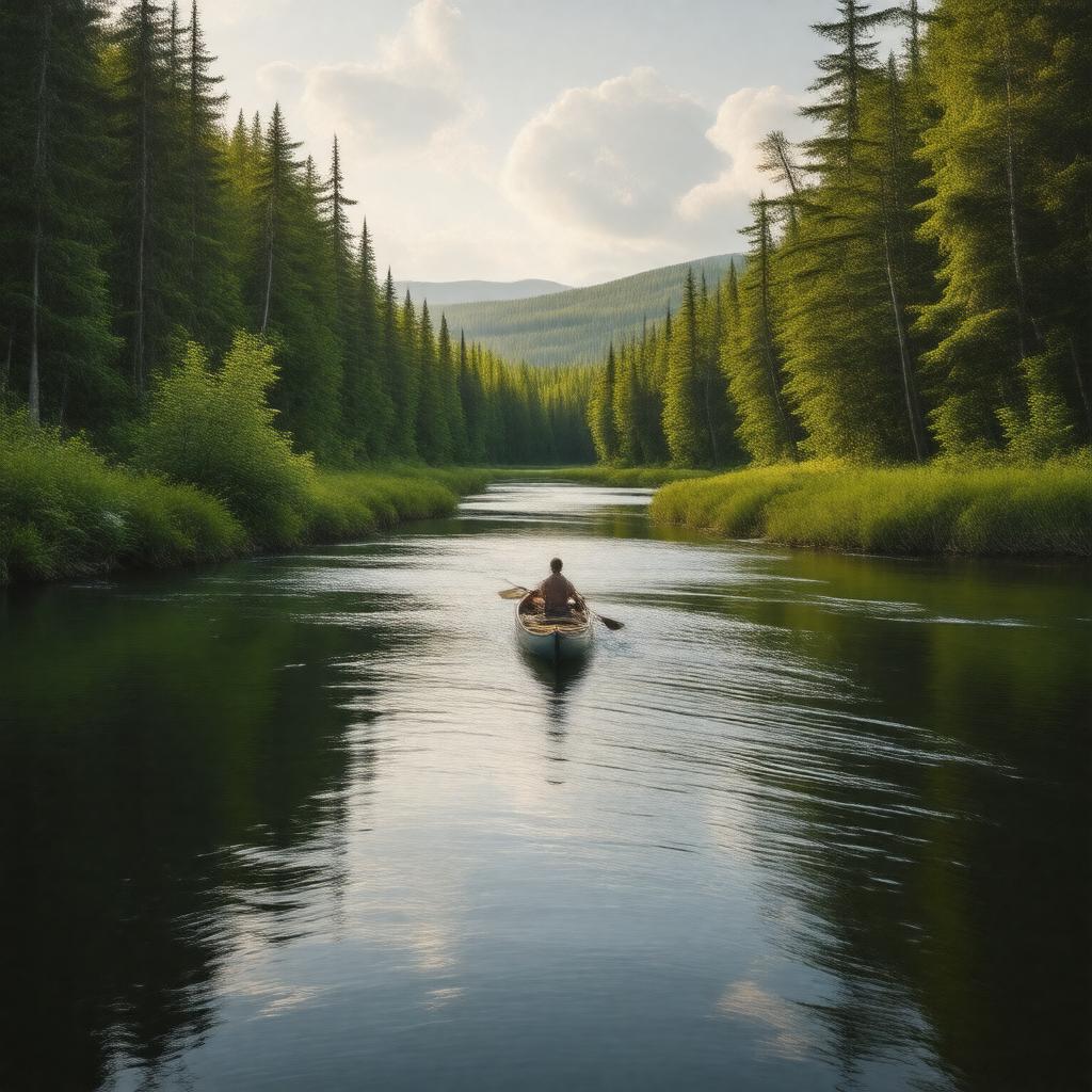
"Generate a serene and majestic image of the Allagash Wilderness Waterway, a 92-mile-long nature reserve located in northern Maine, United States. The image should feature a tranquil section of the Allagash River, which runs through the waterway, surrounded by lush green forests and possibly with a canoe or kayak in the distance. In the background, a subtle hint of Allagash Falls can be seen. The style should be photorealistic, capturing the natural beauty of the area, with warm sunlight filtering through the trees, reflecting off the calm waters of the river and lakes, such as Eagle Lake or Chamberlain Lake. The atmosphere should evoke a sense of peace and adventure, inviting the viewer to explore the waterway by canoeing, fishing, camping, or hiking."
