gptkbp:instance_of
|
gptkb:peninsula
|
gptkbp:area
|
approximately 15,000 square kilometers
|
gptkbp:average_rainfall
|
around 400 mm to 600 mm
|
gptkbp:average_temperature
|
around 16° C to 20° C
|
gptkbp:climate
|
Mediterranean climate
|
gptkbp:cultural_events
|
gptkb:Maitland_Show
gptkb:Minlaton_Show
gptkb:Yorke_Peninsula_Field_Days
|
gptkbp:cultural_significance
|
Aboriginal heritage
|
gptkbp:economic_activity
|
gptkb:tourism
fishing industry
mining industry
|
gptkbp:farming_activity
|
cattle farming
sheep grazing
wheat farming
|
gptkbp:geological_features
|
gptkb:sand_dunes
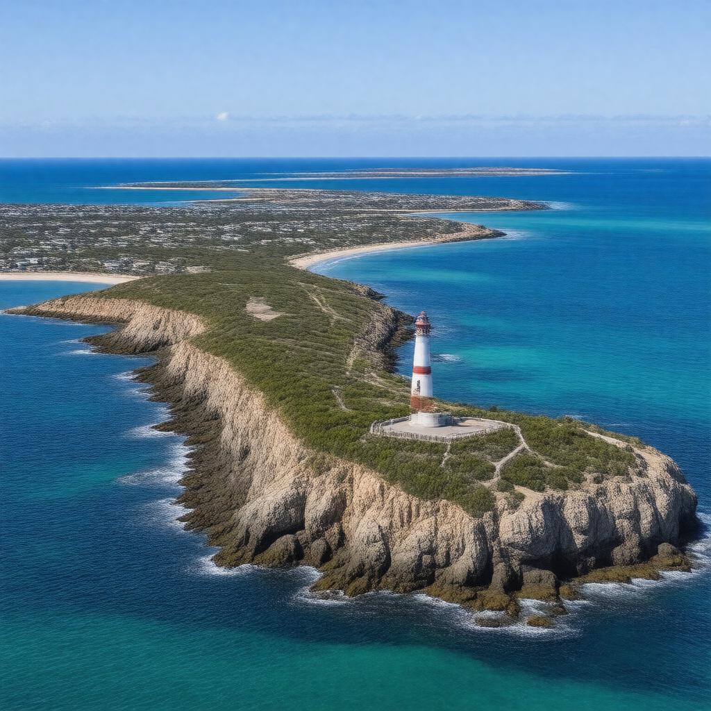
limestone cliffs
|
gptkbp:historical_significance
|
European settlement in the 19th century
|
https://www.w3.org/2000/01/rdf-schema#label
|
Yorke Peninsula
|
gptkbp:location
|
gptkb:South_Australia
|
gptkbp:major_city
|
Maitland
Minlaton
Yorketown
|
gptkbp:notable_feature
|
gptkb:The_Innes_National_Park_Lighthouse
gptkb:Wattle_Point_Wind_Farm
gptkb:Yorke_Peninsula_Lighthouse
The beach at Marion Bay
The cliffs at Corny Point
The coastal town of Port Vincent
The fishing village of Stansbury
The historic town of Moonta
The marine park at Gulf St Vincent
The old mining town of Inneston
The rock formations at Cape Spencer
The scenic drives along the coast
The wetlands at Price
The historical site of the old copper mine at Moonta Bay
|
gptkbp:population
|
approximately 30,000
|
gptkbp:surrounding_body_of_water
|
gptkb:Gulf_St_Vincent
|
gptkbp:tourist_attraction
|
gptkb:Innes_National_Park
gptkb:Hardwicke_Bay
gptkb:Point_Turton
gptkb:Port_Giles
Balgowan
|
gptkbp:transportation
|
ferry services to nearby islands
road access from Adelaide
|
gptkbp:wildlife
|
various bird species
kangaroos
koalas
|
gptkbp:bfsParent
|
gptkb:Edward_John_Eyre
gptkb:Gulf_St_Vincent
|
gptkbp:bfsLayer
|
6
|