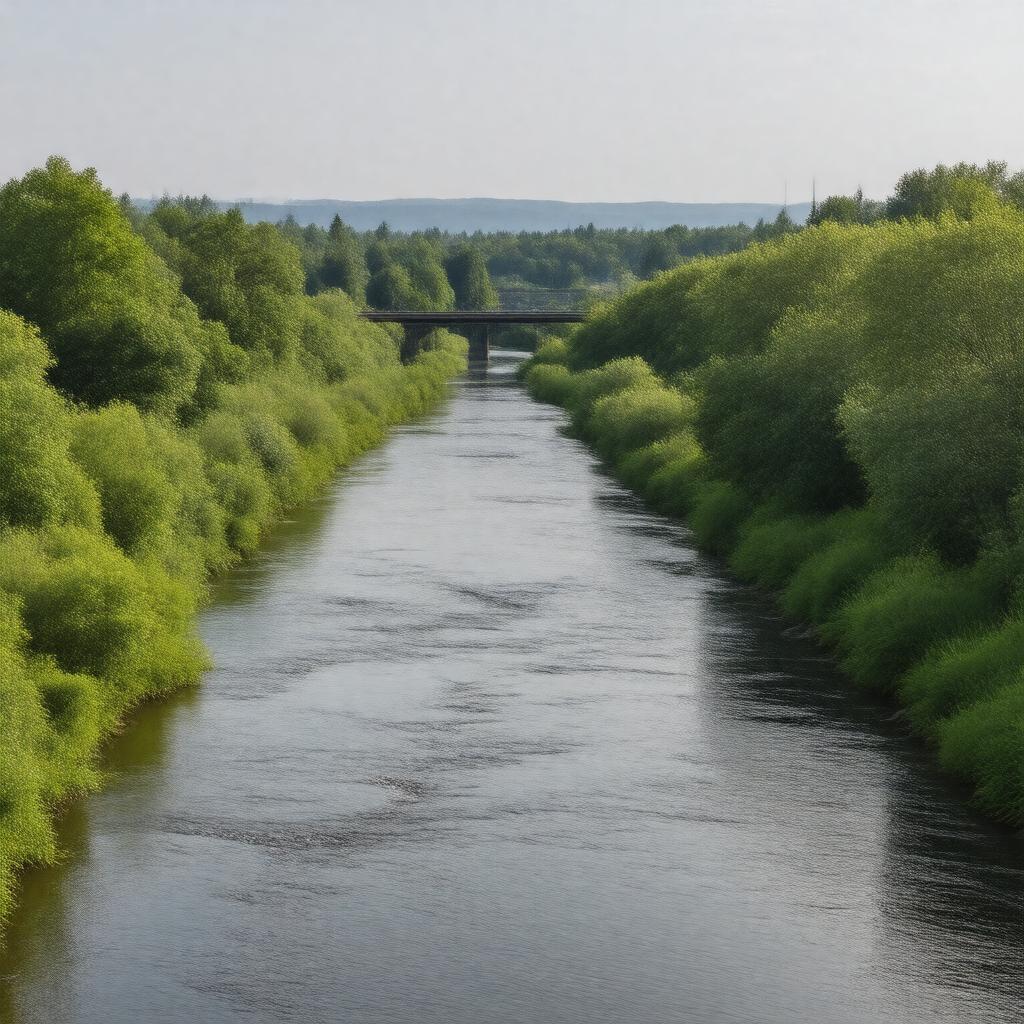
AI-created image
Statements (21)
| Predicate | Object |
|---|---|
| gptkbp:instanceOf |
gptkb:river
|
| gptkbp:basinSize |
approximately 837 square miles
|
| gptkbp:county |
gptkb:Yamhill_County
|
| gptkbp:flowsThrough |
gptkb:Willamette_River
|
| gptkbp:formedByConfluenceOf |
gptkb:North_Yamhill_River
gptkb:South_Yamhill_River |
| gptkbp:hasBridge |
gptkb:Dayton_Bridge
gptkb:Rex_Hill_Bridge |
| gptkbp:hasCity |
gptkb:Dayton
gptkb:McMinnville Lafayette |
| gptkbp:length |
approximately 11 miles
|
| gptkbp:locatedIn |
gptkb:Oregon
gptkb:United_States |
| gptkbp:mouthElevation |
approximately 59 feet
|
| gptkbp:mouthLocation |
gptkb:Dayton,_Oregon
|
| gptkbp:sourceElevation |
approximately 75 feet
|
| gptkbp:tributaryOf |
gptkb:Willamette_River
|
| gptkbp:bfsParent |
gptkb:Willamette_River
|
| gptkbp:bfsLayer |
4
|
| http://www.w3.org/2000/01/rdf-schema#label |
Yamhill River
|