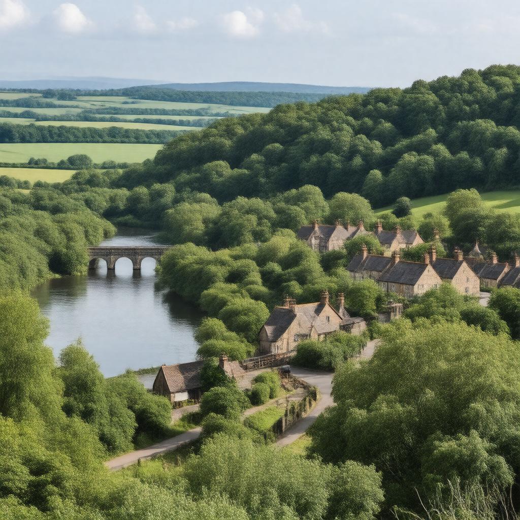
Wylam, Northumberland, England
GPTKB entity

AI-created image
Statements (24)
| Predicate | Object |
|---|---|
| gptkbp:instanceOf |
gptkb:civil_parish
gptkb:village |
| gptkbp:country |
gptkb:United_Kingdom
|
| gptkbp:dialCode |
01661
|
| gptkbp:distanceFromNewcastle |
10 miles west
|
| gptkbp:famousFor |
birthplace of George Stephenson
|
| gptkbp:hasLandmark |
gptkb:Stephenson's_Cottage
gptkb:Wylam_Brewery gptkb:Wylam_Bridge |
| gptkbp:hasRailwayStation |
gptkb:Wylam_railway_station
|
| gptkbp:locatedIn |
gptkb:England
Northumberland |
| gptkbp:notablePerson |
gptkb:Timothy_Hackworth
gptkb:George_Stephenson |
| gptkbp:parliamentaryConstituency |
gptkb:Hexham
|
| gptkbp:population |
1,991
|
| gptkbp:postcodeDistrict |
NE41
|
| gptkbp:postTown |
WYLAM
|
| gptkbp:region |
North East England
|
| gptkbp:river |
gptkb:River_Tyne
|
| gptkbp:bfsParent |
gptkb:Puffing_Billy
gptkb:George_Stephenson |
| gptkbp:bfsLayer |
5
|
| http://www.w3.org/2000/01/rdf-schema#label |
Wylam, Northumberland, England
|