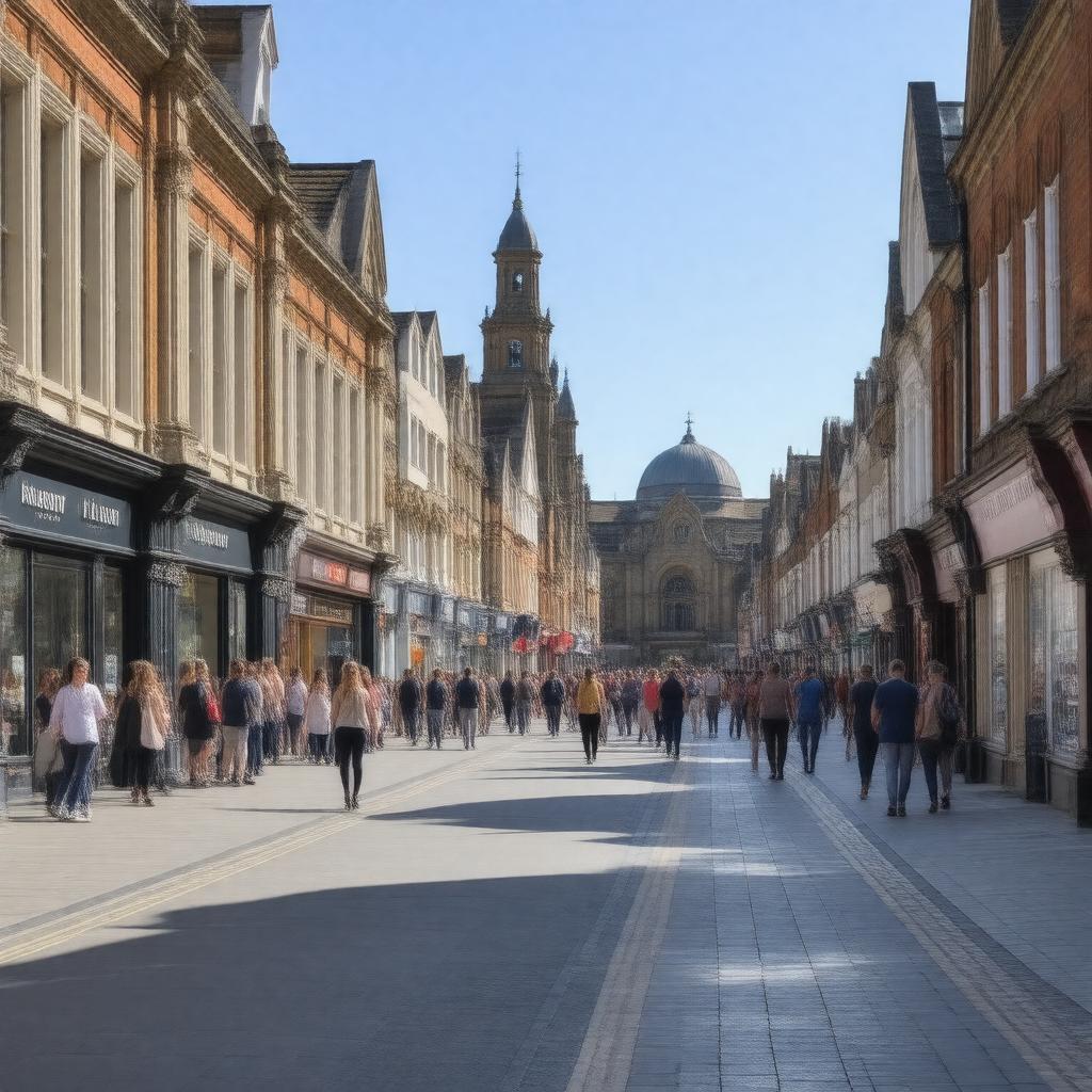
gptkbp:instanceOf
|
gptkb:town
|
gptkbp:area
|
63.57 km²
|
gptkbp:country
|
gptkb:England
gptkb:United_Kingdom
|
gptkbp:dialCode
|
01483
|
gptkbp:distanceFromLondon
|
23 miles
|
gptkbp:famousFor
|
gptkb:Brookwood_Cemetery
gptkb:Shah_Jahan_Mosque
gptkb:The_Lightbox_gallery
gptkb:Woking_Football_Club
|
gptkbp:founded
|
pre-1086
|
gptkbp:governingBody
|
gptkb:Woking_Borough_Council
|
https://www.w3.org/2000/01/rdf-schema#label
|
Woking
|
gptkbp:locatedIn
|
gptkb:Surrey
|
gptkbp:notableEvent
|
setting for The War of the Worlds
|
gptkbp:notablePerson
|
gptkb:H.G._Wells
gptkb:Paul_Weller
gptkb:Rick_Parfitt
gptkb:Delia_Smith
|
gptkbp:osGridReference
|
TQ005585
|
gptkbp:parliamentaryConstituency
|
gptkb:Woking
|
gptkbp:population
|
approximately 100,000
|
gptkbp:postcodeDistrict
|
GU21
GU22
|
gptkbp:railwayStation
|
gptkb:Woking_railway_station
|
gptkbp:region
|
gptkb:South_East_England
|
gptkbp:twinTown
|
gptkb:Amstelveen
gptkb:Le_Plessis-Robinson
gptkb:Rastatt
|
gptkbp:website
|
https://www.woking.gov.uk/
|
gptkbp:bfsParent
|
gptkb:Jonathan_Lord
|
gptkbp:bfsLayer
|
4
|