Prompt
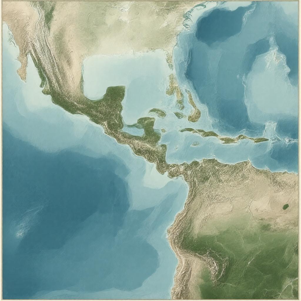
"Generate a realistic map image of the Windward Passage, a major shipping route in the Caribbean Sea, separating Cuba and Hispaniola (Haiti and the Dominican Republic) from Jamaica, with a width of 80 km, connecting the Atlantic Ocean to the Caribbean Sea, and bordering the cities of Guantánamo and Cap-Haïtien, in a style reminiscent of a nautical chart."

