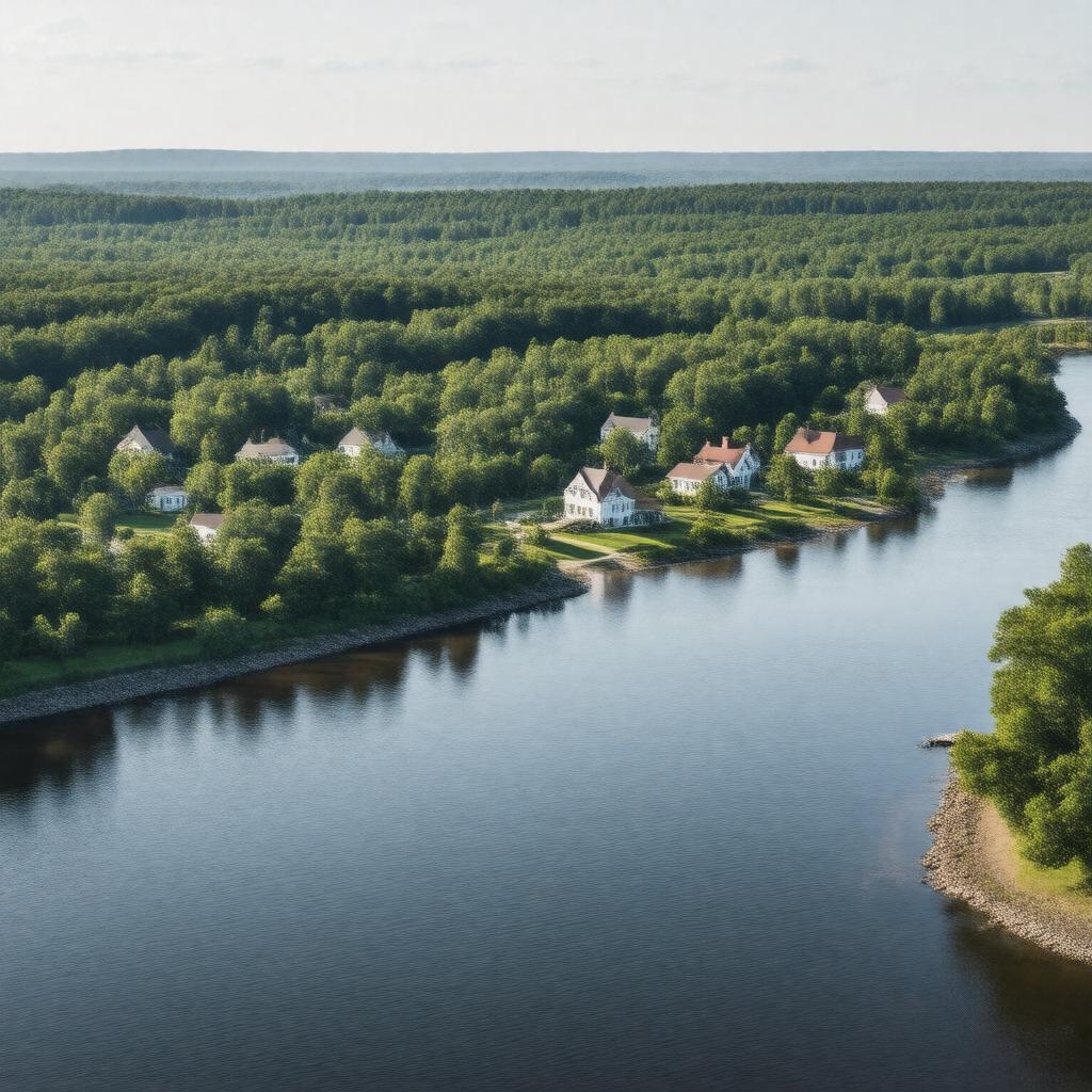
gptkbp:instance_of
|
gptkb:town
|
gptkbp:area
|
64.5 square miles
|
gptkbp:climate
|
Humid subtropical climate
|
gptkbp:cultural_events
|
gptkb:Westport_Farmers_Market
gptkb:Westport_River_Wine_&_Food_Festival
Westport Art Group Exhibits
Westport Fair
Westport Historical Society Events
|
gptkbp:demographics
|
Diverse community
|
gptkbp:economy
|
gptkb:tourism
Farming
Fishing
Real estate
|
gptkbp:education
|
gptkb:Westport_High_School
gptkb:Westport_Elementary_School
gptkb:Westport_Middle_School
|
gptkbp:elevation
|
10 feet
|
gptkbp:founded
|
1787
|
gptkbp:government_type
|
Open town meeting
|
gptkbp:historical_significance
|
Agricultural history
|
https://www.w3.org/2000/01/rdf-schema#label
|
Westport, Massachusetts
|
gptkbp:landmark
|
gptkb:Westport_Point
gptkb:Gray's_Beach
gptkb:Allens_Pond_Wildlife_Sanctuary
gptkb:Westport_Town_Farm
gptkb:Westport_River_State_Reservation
|
gptkbp:located_in
|
gptkb:Bristol_County
|
gptkbp:major_highway
|
gptkb:Massachusetts_Route_88
gptkb:U._S._Route_29
|
gptkbp:notable_person
|
gptkb:John_A._Mc_Cormack
gptkb:Henry_H._Rogers
gptkb:William_H._Mc_Gowan_LI
|
gptkbp:part_of
|
gptkb:New_England
|
gptkbp:population
|
15,532
|
gptkbp:recreation
|
gptkb:Beaches
gptkb:Cycling
gptkb:parks
Birdwatching
Boating
Fishing
Hiking trails
|
gptkbp:school_district
|
gptkb:Westport_Community_Schools
|
gptkbp:surrounding_body_of_water
|
gptkb:Squantum_Pond
gptkb:Apponagansett_Bay
gptkb:Westport_River
|
gptkbp:time_zone
|
Eastern Time Zone
|
gptkbp:transportation
|
Public transportation available
Access to I-195
Access to U. S. Route 6
|
gptkbp:website
|
westport-ma.com
|
gptkbp:zip_code
|
02790
|
gptkbp:bfsParent
|
gptkb:Alfred_M._Landon
|
gptkbp:bfsLayer
|
5
|