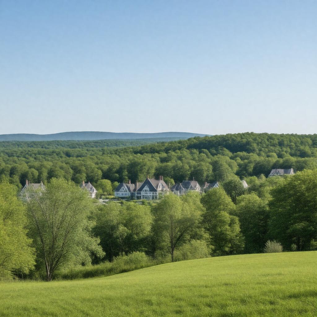
AI-created image
Statements (28)
| Predicate | Object |
|---|---|
| gptkbp:instanceOf |
gptkb:town
|
| gptkbp:areaCode |
203
475 |
| gptkbp:areaLandKm2 |
51.4
|
| gptkbp:areaTotalKm2 |
52.6
|
| gptkbp:areaWaterKm2 |
1.2
|
| gptkbp:country |
gptkb:United_States
|
| gptkbp:county |
gptkb:Fairfield_County
|
| gptkbp:FIPS_code |
09-83450
|
| gptkbp:GNIS_feature_ID |
0213537
|
| gptkbp:governmentType |
Selectman-town meeting
|
| gptkbp:incorporated |
1787
|
| gptkbp:knownFor |
affluent residential community
large areas of open space |
| gptkbp:medianHouseholdIncome |
high
|
| gptkbp:nearestCity |
gptkb:Easton,_Connecticut,_USA
gptkb:Westport,_Connecticut,_USA gptkb:Wilton,_Connecticut,_USA gptkb:Redding,_Connecticut,_USA |
| gptkbp:notableFeature |
gptkb:Devil's_Den_Preserve
|
| gptkbp:population |
10179
|
| gptkbp:schoolDistrict |
gptkb:Weston_Public_Schools
|
| gptkbp:state |
gptkb:Connecticut
|
| gptkbp:timezone |
Eastern
|
| gptkbp:zipCode |
06883
|
| gptkbp:bfsParent |
gptkb:Westport,_Connecticut,_USA
|
| gptkbp:bfsLayer |
4
|
| http://www.w3.org/2000/01/rdf-schema#label |
Weston, Connecticut, USA
|