Prompt
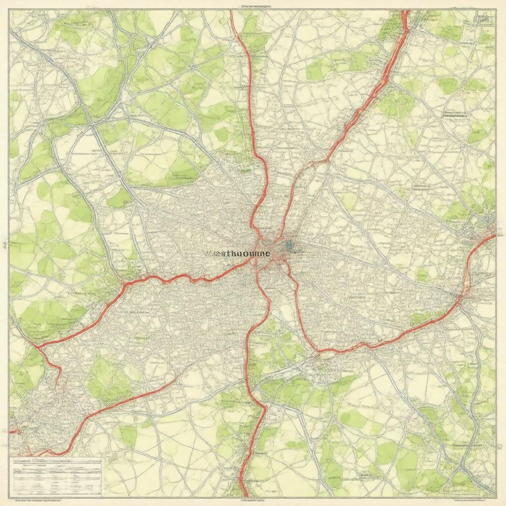
"Generate an image of a map of Westbourne electoral ward, located in Chichester District, West Sussex, England, highlighting its boundaries and settlements including Westbourne, Woodmancote, and Aldsworth, in a realistic and geographically accurate style."

