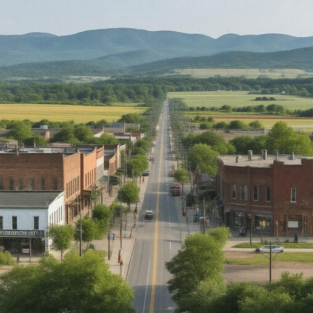
AI-created image
Statements (25)
| Predicate | Object |
|---|---|
| gptkbp:instanceOf |
gptkb:city
|
| gptkbp:areaCode |
417
|
| gptkbp:book |
gptkb:West_Plains_Public_Library
|
| gptkbp:coordinates |
36.7281°N 91.8524°W
|
| gptkbp:country |
gptkb:United_States
|
| gptkbp:county |
gptkb:Howell_County
|
| gptkbp:elevation |
330 m
|
| gptkbp:founded |
1838
|
| gptkbp:incorporated |
gptkb:West_Plains
|
| gptkbp:mayor |
gptkb:Mike_Topliff
|
| gptkbp:namedFor |
location on a prairie west of the Ozarks
|
| gptkbp:notablePerson |
gptkb:Dick_Van_Dyke
gptkb:Porter_Wagoner gptkb:Jan_Howard |
| gptkbp:officialWebsite |
https://westplains.net/
|
| gptkbp:population |
12018
|
| gptkbp:populationAsOf |
2020
|
| gptkbp:region |
gptkb:Ozarks
|
| gptkbp:schoolDistrict |
gptkb:West_Plains_R-VII_School_District
|
| gptkbp:state |
gptkb:Missouri
|
| gptkbp:timezone |
gptkb:Central_Time_Zone
|
| gptkbp:zipCode |
65775
|
| gptkbp:bfsParent |
gptkb:Missouri_State_University
|
| gptkbp:bfsLayer |
5
|
| http://www.w3.org/2000/01/rdf-schema#label |
West Plains
|