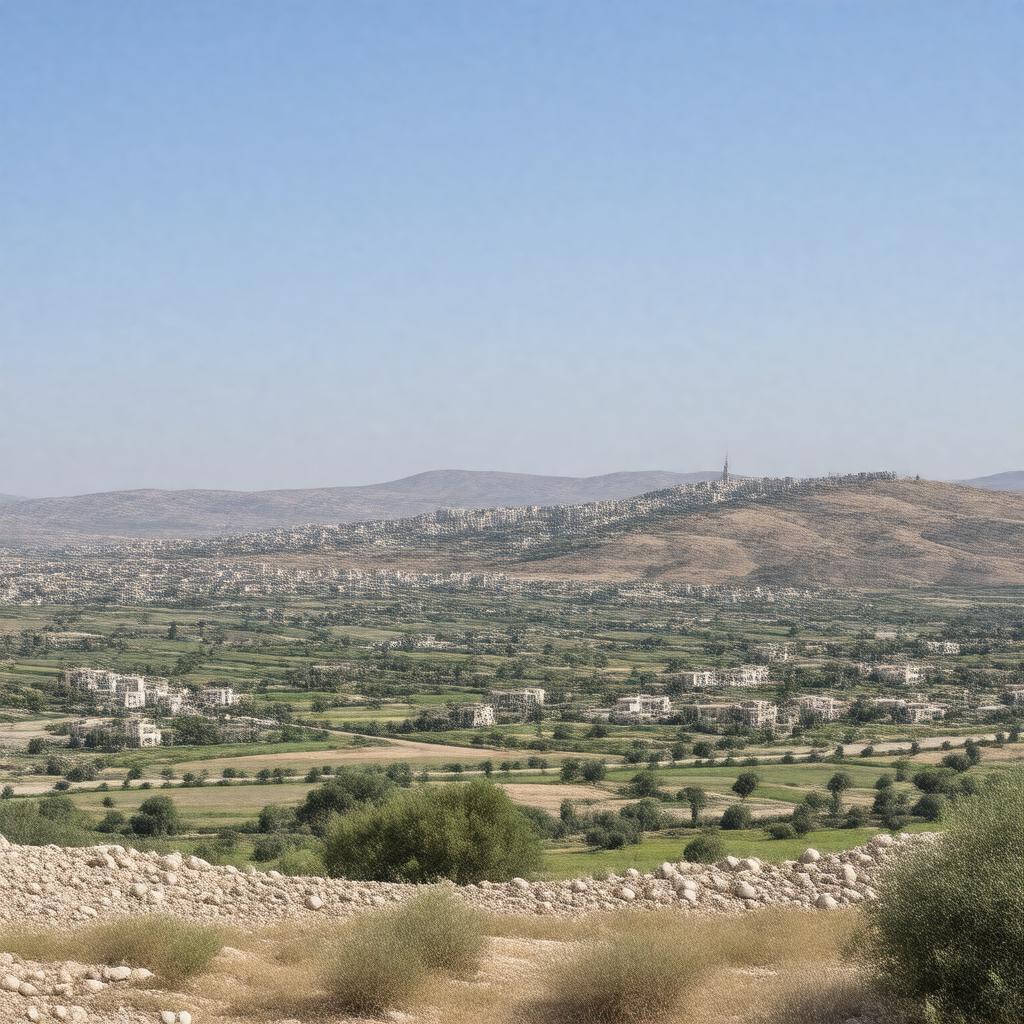
gptkbp:instance_of
|
gptkb:territory
|
gptkbp:area
|
5,640 km²
5,640 square kilometers
approximately 5,640 square kilometers
|
gptkbp:bordered_by
|
gptkb:Israel
gptkb:Jordan
|
gptkbp:borders
|
gptkb:Israel
gptkb:Jordan
|
gptkbp:capital
|
gptkb:East_Jerusalem
gptkb:Ramallah
|
gptkbp:climate
|
Mediterranean climate
|
gptkbp:conflict
|
gptkb:Israeli-Palestinian_conflict
|
gptkbp:contains_city
|
gptkb:Bethlehem
gptkb:Nablus
gptkb:Ramallah
gptkb:Hebron
gptkb:Jericho
|
gptkbp:control_system
|
gptkb:Palestinian_Authority
|
gptkbp:cuisine
|
includes dishes like Falafel
includes dishes like Hummus
includes dishes like Maqluba
includes dishes like Musakhan
includes dishes like Shawarma
|
gptkbp:cultural_events
|
gptkb:Palestinian_Heritage_Day
gptkb:Palestinian_Independence_Day
|
gptkbp:cultural_heritage
|
home to numerous archaeological sites
|
gptkbp:currency
|
gptkb:Israeli_new_shekel
|
gptkbp:demographics
|
predominantly Palestinian Arab
includes Israeli settlers
|
gptkbp:economy
|
agriculture
primarily agricultural
|
gptkbp:education_system
|
includes universities like Birzeit University
includes universities like An-Najah National University
|
gptkbp:environment
|
experiences land degradation
faces water scarcity issues
has agricultural land under threat
has biodiversity in its natural reserves
|
gptkbp:established
|
1948
|
gptkbp:geography
|
includes hills and valleys
contains the Judean Desert
contains the Samarian Mountains
has a varied topography
|
gptkbp:governed_by
|
gptkb:Palestinian_Authority
|
gptkbp:has_conflict_with
|
gptkb:Israel
|
gptkbp:historical_event
|
Gaza Disengagement occurred in 2005
Oslo Accords signed in 1993
Second Intifada began in 2000
Six-Day War occurred in 1967
UN Resolution 242 adopted in 1967
|
gptkbp:historical_significance
|
site of ancient civilizations
|
https://www.w3.org/2000/01/rdf-schema#label
|
West Bank
|
gptkbp:language
|
gptkb:Arabic
|
gptkbp:located_in
|
gptkb:Palestine
|
gptkbp:major_city
|
gptkb:Beit_Shemesh
gptkb:Qalqilya
gptkb:Bethlehem
gptkb:Tulkarm
gptkb:Ma'ale_Adumim
gptkb:Modi'in_Illit
gptkb:Bani_Na'im
gptkb:Halhul
gptkb:Kafr_Qaddum
gptkb:Kiryat_Arba
gptkb:Beit_Sahour
gptkb:Nablus
gptkb:Ariel
gptkb:Ramallah
gptkb:Qabatiya
gptkb:Hebron
gptkb:Jericho
gptkb:Dura
gptkb:Al-Ram
gptkb:Gush_Etzion
gptkb:Birzeit
gptkb:Deir_Abu_Mash'al
Beit Jala
Tubas
Jenin
Israeli settlements exist
Yatta
Efrat
Salfit
Zababdeh
Azzun
Sair
Tammoun
|
gptkbp:major_highway
|
gptkb:Route_443
gptkb:Route_60
Route 90
|
gptkbp:major_rivers
|
gptkb:Jordan_River
|
gptkbp:monitors
|
non-member observer state
recognized as a non-member observer state
|
gptkbp:official_language
|
gptkb:Arabic
|
gptkbp:part_of
|
gptkb:Palestine
|
gptkbp:population
|
approximately 2.7 million
|
gptkbp:tourist_attraction
|
gptkb:Church_of_the_Nativity
gptkb:Bethlehem
gptkb:Herodium
gptkb:Qumran_Caves
gptkb:Nablus
gptkb:Al-Aqsa_Mosque
gptkb:Hebron
gptkb:Jericho
gptkb:Mount_Gerizim
|
gptkbp:transportation
|
includes taxis
includes checkpoints
includes public buses
includes roads controlled by Israel
|
gptkbp:bfsParent
|
gptkb:Oslo_Accords
gptkb:UNRWA
gptkb:Holy_Land
gptkb:Israel
gptkb:Jerusalem
gptkb:Palestinian_Authority
gptkb:Israeli-Palestinian_conflict
gptkb:Palestine
gptkb:Palestinian_Liberation_Organization
gptkb:Yasser_Arafat
gptkb:United_Nations_Relief_and_Works_Agency_for_Palestine_Refugees_in_the_Near_East
gptkb:military_base
gptkb:State_of_Palestine
gptkb:Six-Day_War
gptkb:Prime_Minister
|
gptkbp:bfsLayer
|
4
|