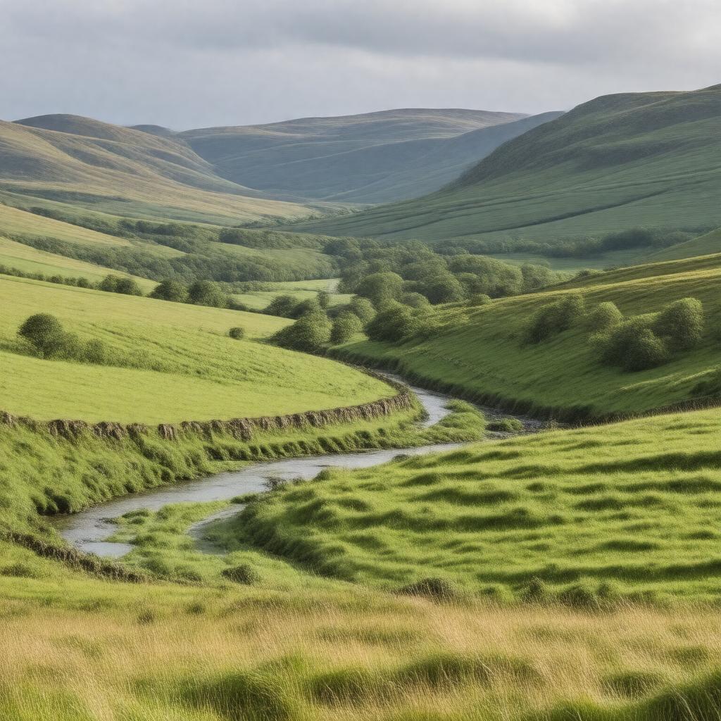
Weardale, County Durham, England
GPTKB entity

AI-created image
Statements (23)
| Predicate | Object |
|---|---|
| gptkbp:instanceOf |
gptkb:valley
|
| gptkbp:areaCode |
DL
|
| gptkbp:areaOfOutstandingNaturalBeauty |
gptkb:North_Pennines_AONB
|
| gptkbp:country |
gptkb:United_Kingdom
|
| gptkbp:dialCode |
01388
|
| gptkbp:historicalName |
limestone quarrying
lead mining |
| gptkbp:locatedIn |
gptkb:England
gptkb:County_Durham |
| gptkbp:notableFeature |
gptkb:grass
scenic landscapes upland farms |
| gptkbp:notableTown |
gptkb:Frosterley
gptkb:St_John's_Chapel gptkb:Stanhope gptkb:Wolsingham |
| gptkbp:partOf |
gptkb:North_Pennines
|
| gptkbp:river |
gptkb:River_Wear
|
| gptkbp:touristAttraction |
gptkb:Killhope_Lead_Mining_Museum
gptkb:Weardale_Railway |
| gptkbp:bfsParent |
gptkb:William_Emerson
|
| gptkbp:bfsLayer |
4
|
| http://www.w3.org/2000/01/rdf-schema#label |
Weardale, County Durham, England
|