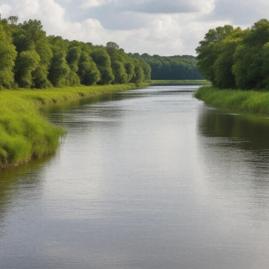
gptkbp:instance_of
|
gptkb:river
|
gptkbp:crosses
|
gptkb:Sumter_County
gptkb:Kershaw_County
gptkb:Richland_County
gptkb:Lancaster_County
|
gptkbp:cultural_significance
|
important to local Native American tribes
|
gptkbp:dam
|
gptkb:Lake_Wateree_Dam
gptkb:Wateree_Hydro_Station
|
gptkbp:environmental_concerns
|
pollution
habitat loss
|
gptkbp:flood_control
|
subject to seasonal flooding
|
gptkbp:flows_into
|
Santee River
|
gptkbp:geographical_feature
|
part of the Atlantic Slope
flows through the Coastal Plain region
flows through the Piedmont region
|
gptkbp:historical_event
|
site of Civil War skirmishes
|
gptkbp:historical_significance
|
used for transportation and trade
|
gptkbp:historical_use
|
gptkb:hydroelectric_power_generation
recreation and tourism
agriculture irrigation
|
https://www.w3.org/2000/01/rdf-schema#label
|
Wateree River
|
gptkbp:length
|
approximately 56 miles
|
gptkbp:local_economy
|
supports agriculture
supports tourism
supports local fishing industry
supports recreational businesses
|
gptkbp:location
|
gptkb:South_Carolina
|
gptkbp:named_after
|
gptkb:Wateree_people
|
gptkbp:navigable
|
partially navigable
|
gptkbp:part_of
|
Wateree River Basin
|
gptkbp:recreation
|
fishing
boating
kayaking
|
gptkbp:source
|
gptkb:Lake_Wateree
|
gptkbp:surrounding_area
|
gptkb:Wateree_State_Park
gptkb:Richland_County_Parks
gptkb:Lake_Wateree_State_Recreation_Area
Lancaster County Parks
Kershaw County Parks
Sumter County Parks
|
gptkbp:tributary_of
|
Santee River
|
gptkbp:water_quality
|
monitored by environmental agencies
|
gptkbp:wildlife
|
supports various fish species
supports bird species
|
gptkbp:bfsParent
|
gptkb:Catawba_River
|
gptkbp:bfsLayer
|
5
|