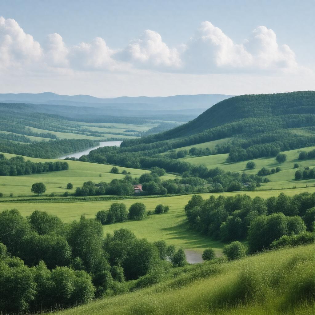
gptkbp:instance_of
|
gptkb:County
|
gptkbp:area
|
2,253 square miles
|
gptkbp:climate
|
Humid continental climate
|
gptkbp:country
|
gptkb:United_States
|
gptkbp:county
|
gptkb:Monroe_County
gptkb:Richland_County
gptkb:La_Crosse_County
gptkb:Crawford_County
|
gptkbp:demographics
|
Diverse ethnic groups
Rural population
Growing Hispanic community
Retirement community
Increasing population of young families
|
gptkbp:economy
|
gptkb:tourism
gptkb:Agriculture
Manufacturing
|
gptkbp:education
|
gptkb:Vernon_County_School_District
gptkb:Viroqua_Area_School_District
gptkb:Westby_Area_School_District
|
gptkbp:elevation
|
1,000 feet
|
gptkbp:founded
|
1851
|
gptkbp:geographical_feature
|
gptkb:Mississippi_River
|
gptkbp:government_type
|
gptkb:County
|
gptkbp:has_county_seat
|
Viroqua
|
https://www.w3.org/2000/01/rdf-schema#label
|
Vernon County
|
gptkbp:landmarks
|
gptkb:Kickapoo_Valley_Reserve
gptkb:Viroqua_Food_Co-op
gptkb:Vernon_County_Historical_Society
gptkb:Wildcat_Mountain_State_Park
gptkb:Driftless_Area
|
gptkbp:major_city
|
Viroqua
|
gptkbp:major_highway
|
gptkb:Wisconsin_Highway_56
gptkb:Wisconsin_Highway_82
gptkb:Wisconsin_Highway_27
gptkb:Wisconsin_Highway_131
gptkb:U._S._Route_14
|
gptkbp:notable_person
|
gptkb:William_H._Mc_Gowan_Jr.
gptkb:Frank_W._Mc_Gowan
gptkb:William_H._Mc_Gowan_LI
gptkb:John_W._Mc_Gowan
L. J. H. Mc Gowan
|
gptkbp:population
|
30900
|
gptkbp:recreation
|
gptkb:Camping
Fishing
Hiking
Biking
Wildlife watching
|
gptkbp:state
|
gptkb:Wisconsin
|
gptkbp:time_zone
|
Central Time Zone
|
gptkbp:zip_code
|
54665
54658
54664
|
gptkbp:bfsParent
|
gptkb:Wisconsin_River
gptkb:Viroqua,_Wisconsin,_USA
|
gptkbp:bfsLayer
|
5
|