Prompt
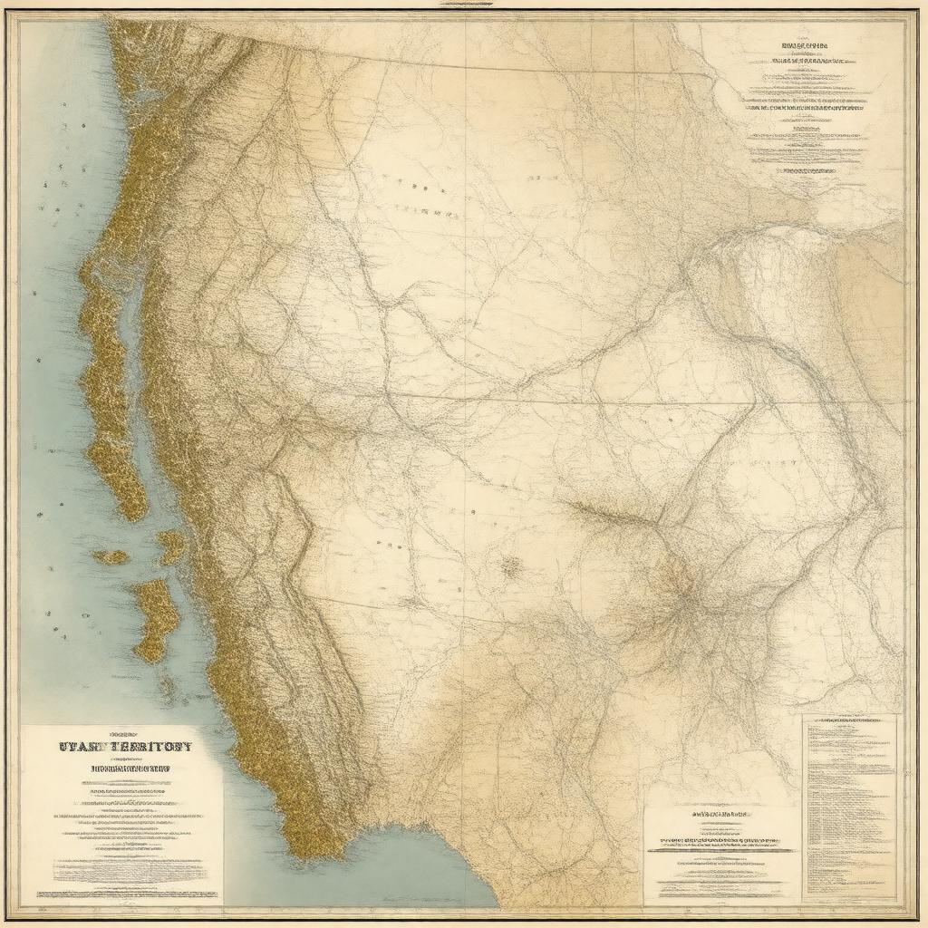
"Generate an image of a historical map of the Utah Territory, which was a former administrative region of the United States, established on September 9, 1850, and dissolved on January 4, 1896. The map should showcase the territory's vast area of approximately 225,000 square miles, its capital Salt Lake City, and its borders with surrounding territories, including California, Oregon Territory, New Mexico Territory, Nebraska Territory, Kansas Territory, Colorado Territory, Nevada Territory, Arizona Territory, Idaho Territory, and Wyoming Territory. The map should be rendered in a classic, vintage style, reminiscent of 19th-century American cartography, with clear labels and markings, and a color scheme that reflects the territory's connection to the United States, with the Flag of the United States prominently displayed."

