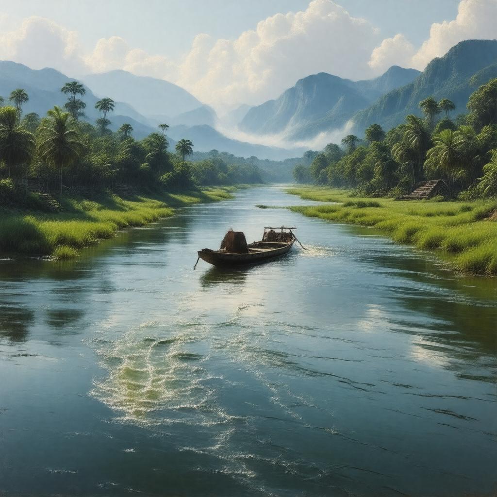
gptkbp:instance_of
|
gptkb:river
|
gptkbp:borders
|
gptkb:Mexico
gptkb:Guatemala
|
gptkbp:climate
|
tropical
|
gptkbp:climate_impact
|
seasonal flooding
droughts
|
gptkbp:conservation_status
|
threatened
|
gptkbp:cultural_heritage
|
gptkb:archaeological_site
Maya ruins
|
gptkbp:cultural_significance
|
gptkb:Maya_mythology
|
gptkbp:dam
|
gptkb:Chicoasen_Dam
gptkb:Usumacinta_Dam
|
gptkbp:discharge
|
1,500 m³/s
|
gptkbp:drainage_basin
|
Usumacinta River Basin
|
gptkbp:economy
|
Maya trade routes
|
gptkbp:ecosystem
|
gptkb:tropical_rainforest
|
gptkbp:environmental_concerns
|
climate change
pollution
deforestation
|
gptkbp:fishing_regulations
|
important
|
gptkbp:flood_control
|
seasonal
|
gptkbp:flows_into
|
gptkb:Tabasco
gptkb:Petén_Department
gptkb:Chiapas
|
gptkbp:geological_features
|
gptkb:Delta
alluvial plain
|
gptkbp:historical_significance
|
gptkb:Maya_civilization
|
gptkbp:historical_site
|
gptkb:Yaxchilan
gptkb:Palenque
|
https://www.w3.org/2000/01/rdf-schema#label
|
Usumacinta River
|
gptkbp:hydrology
|
drains into Gulf of Mexico
|
gptkbp:involved_countries
|
gptkb:Ch'ol_people
gptkb:Maya_civilization
gptkb:Q'eqchi'_people
|
gptkbp:length
|
1,000 km
|
gptkbp:local_economy
|
supports livelihoods
|
gptkbp:location
|
gptkb:Mexico
gptkb:Guatemala
|
gptkbp:mouth
|
gptkb:Grijalva_River
|
gptkbp:navigable
|
gptkb:true
|
gptkbp:recreation
|
fishing
boating
kayaking
|
gptkbp:source
|
gptkb:Sierra_de_los_Cuchumatanes
|
gptkbp:tourism
|
ecotourism
cultural tourism
|
gptkbp:tributary_of
|
gptkb:Grijalva_River
|
gptkbp:water_management
|
important for agriculture
important for irrigation
important for hydropower
|
gptkbp:water_quality
|
varies by region
|
gptkbp:water_source
|
agricultural runoff
industrial waste
urban runoff
|
gptkbp:wildlife
|
various fish species
crocodiles
manatees
|
gptkbp:bfsParent
|
gptkb:Central_America
gptkb:Mexico
|
gptkbp:bfsLayer
|
4
|